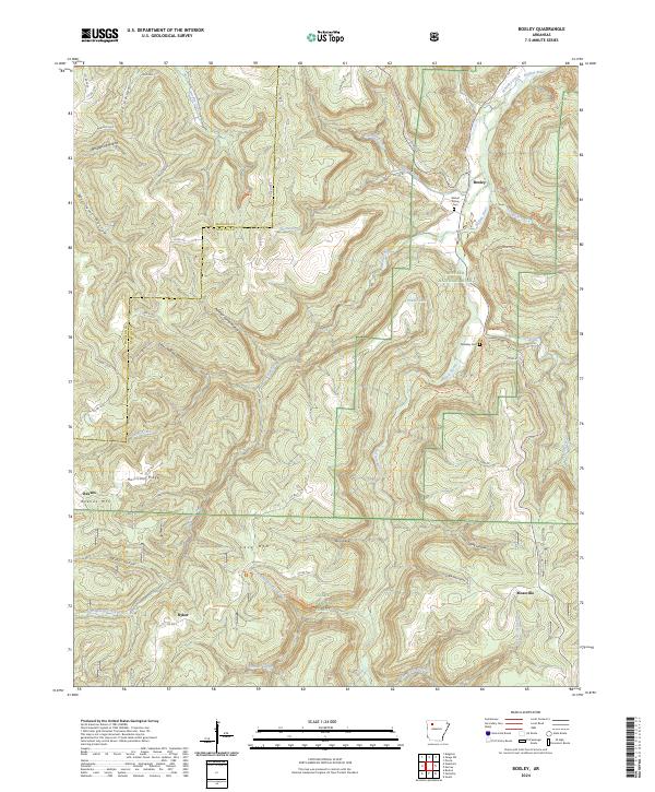
2024 Map of Boxley
USGS Topo · Published 2024About this map
Buffalo National River corridors and the deep valleys of the Ozarks define this landscape in the western reaches of Newton County. The settlement of Boxley serves as a focal point along the Buffalo River, where the Walnut Grove Cemetery sits near the valley floor. To the south, the terrain rises toward Cave Mountain and the Ozark National Forest, including the protected expanse of the Upper Buffalo Wilderness. Local history is etched into the topography through names like Ryker and Mossville, while the Whiteley School Trail and Whiteley Cemetery suggest earlier community centers near Whiteley Creek. This survey captures the complex drainage systems of Whitaker Creek and Sweden Creek before they join the main river, highlighting the remote character of the Buffalo National River Wilderness as it appeared in the early 21st century.
Find a feature on this map
66 named features on this map. Tap any name to fly to it.
Don’t see what you’re looking for? This feature index may not catch every label — zoom into the map to look around manually.
Map Details
Editions of this 2024 Boxley Map
This is the sole edition of this map. No revisions or reprints were ever made.
Other maps of this area

1900 · Eureka Springs
USGS Topo · 1:125,000

1901 · Eureka Springs
USGS Topo · 1:125,000

1904 · Harrison
USGS Topo · 1:125,000

1905 · Harrison
USGS Topo · 1:125,000

1945 · Harrison
USGS Topo · 1:250,000

1949 · Harrison
USGS Topo · 1:250,000

1954 · Harrison
USGS Topo · 1:250,000

1956 · Russellville
USGS Topo · 1:250,000

1958 · Harrison
USGS Topo · 1:250,000

1964 · Russellville
USGS Topo · 1:250,000