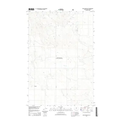
2014 Map of Boyce Creek East
USGS Topo · Published 2014About this map
Little Missouri National Grassland encompasses a large portion of this western North Dakota landscape, where the high plains terrain is carved by the intermittent drainage of Boyce Creek. The small settlement of Mound sits in the southwestern corner of the quadrangle, serving as a focal point for the surrounding ranching and agricultural community in Slope County. Transportation through this remote section of the Badlands is anchored by Rhame Rd, which provides a primary north-south corridor across the rolling topography.
Find a feature on this map
24 named features on this map. Tap any name to fly to it.
Don’t see what you’re looking for? This feature index may not catch every label — zoom into the map to look around manually.
Map Details
Editions of this 2014 Boyce Creek East Map
This is the sole edition of this map. No revisions or reprints were ever made.
Other maps of this area
1953 · Dickinson
USGS Topo · 1:250,000
1957 · Dickinson
USGS Topo · 1:250,000
1979 · Deep Creek North
USGS Topo · 1:24,000
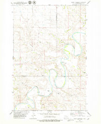
1979 · Three V Crossing
USGS Topo · 1:24,000
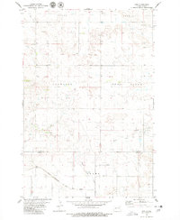
1979 · Ives
USGS Topo · 1:24,000
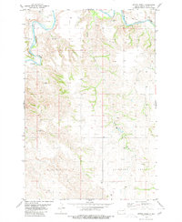
1980 · Spring Creek
USGS Topo · 1:24,000
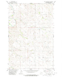
1980 · Boyce Creek West
USGS Topo · 1:24,000
1980 · Belfield
USGS Topo · 1:100,000
1981 · Bowman
USGS Topo · 1:100,000
1997 · Deep Creek North
USGS Topo · 1:24,000