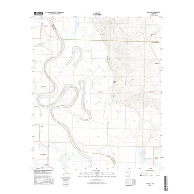
2017 Map of Boyd Hill
USGS Topo · Published 2017About this map
The Red River snakes through the landscape, creating a complex network of oxbows and remnant water bodies such as 1927 Cut-off Lake and Mays Lake. This flood-prone terrain is defined by the shifting course of the river, leaving behind landlocked lakes like Grassy Lake and Second Old River Lake. The topography rises noticeably at Boyd Hill, which provides a high-ground anchor for the small community and the Boyd Hill Cem near the junction of several county roads.
Find a feature on this map
50 named features on this map. Tap any name to fly to it.
Don’t see what you’re looking for? This feature index may not catch every label — zoom into the map to look around manually.
Map Details
Editions of this 2017 Boyd Hill Map
This is the sole edition of this map. No revisions or reprints were ever made.
Other maps of this area

1951 · Patmos
USGS Topo · 1:24,000

1951 · Fulton
USGS Topo · 1:24,000

1951 · Spring Hill
USGS Topo · 1:24,000

1952 · Garland
USGS Topo · 1:24,000

1952 · Fouke SE
USGS Topo · 1:24,000

1952 · Old Town
USGS Topo · 1:24,000

1952 · Lewisville
USGS Topo · 1:24,000

1952 · Fouke NE
USGS Topo · 1:24,000

1952 · Boyd Hill
USGS Topo · 1:24,000

1953 · El Dorado
USGS Topo · 1:250,000