
1952 Map of Boyd Hill
USGS Topo · Published 1953About this map
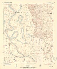
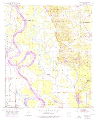
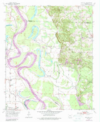
The Red River meanders through the heart of this Arkansas landscape, defining the boundaries between Hempstead, Lafayette, and Miller counties. The shifting nature of the river is visible in the horseshoe bends and abandoned channels like Second Old River Lake and Cypress City Lake, as well as the engineered 1927 Cut-off. The lowlands are protected by a complex system of Levees that snake along the riverbanks and across the Prairie, managing the flow of the Kitchens Bayou and Field Bayou.
Find a feature on this map
36 named features on this map. Tap any name to fly to it.
Don’t see what you’re looking for? This feature index may not catch every label — zoom into the map to look around manually.
Map Details
Editions of this 1952 Boyd Hill Map
4 editions found
Other maps of this area

1951 · Patmos
USGS Topo · 1:24,000

1951 · Fulton
USGS Topo · 1:24,000

1951 · Spring Hill
USGS Topo · 1:24,000

1952 · Garland
USGS Topo · 1:24,000

1952 · Fouke SE
USGS Topo · 1:24,000

1952 · Old Town
USGS Topo · 1:24,000

1952 · Lewisville
USGS Topo · 1:24,000

1952 · Fouke NE
USGS Topo · 1:24,000

1953 · El Dorado
USGS Topo · 1:250,000

1957 · El Dorado
USGS Topo · 1:250,000