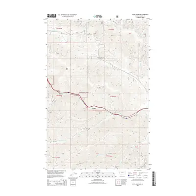
2014 Map of Boyd Mountain
USGS Topo · Published 2014About this map
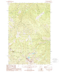
Lolo National Forest dominates this section of Mineral County, Montana, where steep ridges and deep gulches dictate the flow of transportation and water. The small settlement of Foraker sits along a primary east-west corridor, nestled where the terrain allows for passage through the Bitterroot Range. The geography is defined by prominent elevations such as Boyd Mountain and Cold Peak, with the Saint Regis River carving a significant path through the southern half of the quadrangle.
Find a feature on this map
30 named features on this map. Tap any name to fly to it.
Don’t see what you’re looking for? This feature index may not catch every label — zoom into the map to look around manually.
Map Details
Editions of this 2014 Boyd Mountain Map
This is the sole edition of this map. No revisions or reprints were ever made.
Other maps of this area
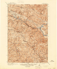
1918 · St Regis
USGS Topo · 1:125,000
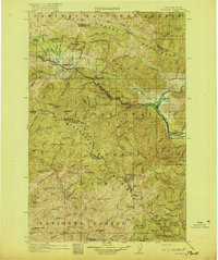
1919 · St. Regis
USGS Topo · 1:125,000
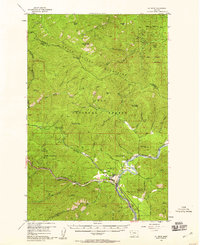
1956 · St Regis
USGS Topo · 1:62,500

1956 · Wallace
USGS Topo · 1:250,000
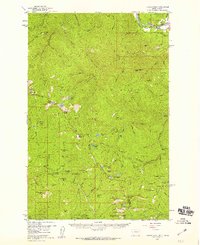
1957 · Illinois Peak
USGS Topo · 1:62,500
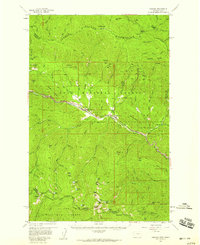
1957 · Haugan
USGS Topo · 1:62,500
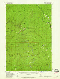
1957 · Simmons Peak
USGS Topo · 1:62,500

1960 · Wallace
USGS Topo · 1:250,000
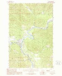
1988 · St Regis
USGS Topo · 1:24,000
1988 · Torino Peak
USGS Topo · 1:24,000