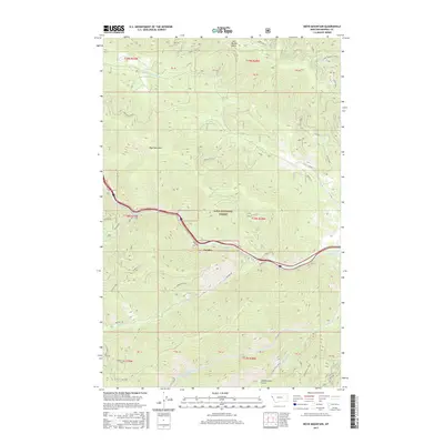
2017 Map of Boyd Mountain
USGS Topo · Published 2017About this map
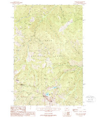
The Saint Regis River cuts through the center of this mountain landscape, following a corridor that includes the small settlement of Foraker. This area of the Lolo National Forest is defined by high ridges and peaks, most notably Boyd Mountain and Eagle Peak. The river valley acts as a primary passage through the terrain, with the Hiawatha route and several forest roads like Little Joe Rd and Two Mile Rd providing access to the interior.
Find a feature on this map
57 named features on this map. Tap any name to fly to it.
Don’t see what you’re looking for? This feature index may not catch every label — zoom into the map to look around manually.
Map Details
Editions of this 2017 Boyd Mountain Map
This is the sole edition of this map. No revisions or reprints were ever made.
Other maps of this area
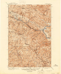
1918 · St Regis
USGS Topo · 1:125,000
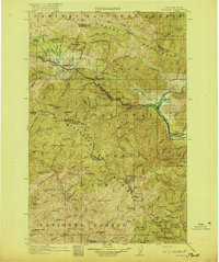
1919 · St. Regis
USGS Topo · 1:125,000
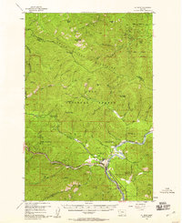
1956 · St Regis
USGS Topo · 1:62,500

1956 · Wallace
USGS Topo · 1:250,000
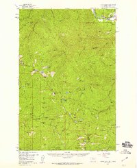
1957 · Illinois Peak
USGS Topo · 1:62,500
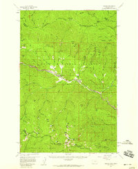
1957 · Haugan
USGS Topo · 1:62,500
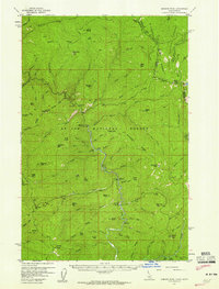
1957 · Simmons Peak
USGS Topo · 1:62,500

1960 · Wallace
USGS Topo · 1:250,000
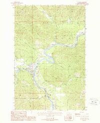
1988 · St Regis
USGS Topo · 1:24,000
1988 · Torino Peak
USGS Topo · 1:24,000