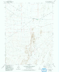
1972 Map of Boyd Station
USGS Topo · Published 1993About this map
Boyd Station (Pony Express Station Ruins) anchors this high-desert landscape in Juab County, marking a historic junction where communication and transit once crossed the arid expanse of Snake Valley. The geography is defined by the legacy of frontier travel, featuring the clearly delineated Pony Express and Overland Stage Route Road. This corridor remains a focal point for the region's historical narrative, connecting the ruins with nearby hydrological and topographic landmarks.
Find a feature on this map
14 named features on this map. Tap any name to fly to it.
Don’t see what you’re looking for? This feature index may not catch every label — zoom into the map to look around manually.
Map Details
Editions of this 1972 Boyd Station Map
2 editions found
Other maps of this area

1908 · Fish Springs
USGS Topo · 1:250,000

1910 · Fish Springs
USGS Topo · 1:250,000

1953 · Delta
USGS Topo · 1:250,000

1958 · Delta
USGS Topo · 1:250,000

1960 · Granite Mountain
USGS Topo · 1:62,500

1962 · Delta
USGS Topo · 1:250,000

1967 · Sand Pass NW
USGS Topo · 1:24,000

1967 · Fish Springs NW
USGS Topo · 1:24,000
1967 · Fish Springs SW
USGS Topo · 1:24,000

1972 · Mud Lake Reservoir
USGS Topo · 1:24,000