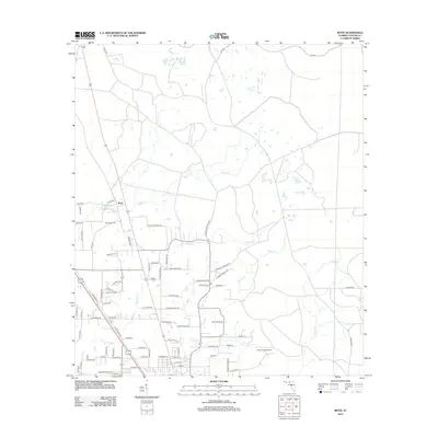
2012 Map of Boyd
USGS Topo · Published 2012About this map
Boyd remains a central point of this Taylor County landscape, defined by a network of rural roads and creek drainages in the early twenty-first century. The map reveals a high density of family-named roads, such as Joel Aman Rd, Leon Ward Rd, and Jimmy Archer Rd, which suggest deep roots and multi-generational land ownership in this part of Florida. The presence of Shiloh Cem provides a focal point for genealogical interest, while aviation markers like the Landing Field near Co Rd-140A and Lumar Field Airport to the south indicate the region's infrastructure. Natural features are dominated by winding waterways including Rocky Cr, Woods Cr, and Pimple Cr, which carve through the terrain and dictate the placement of early settlements and modern agriculture.
Find a feature on this map
78 named features on this map. Tap any name to fly to it.
Don’t see what you’re looking for? This feature index may not catch every label — zoom into the map to look around manually.
Map Details
Editions of this 2012 Boyd Map
This is the sole edition of this map. No revisions or reprints were ever made.
Other maps of this area

1952 · Secotan
USGS Topo · 1:24,000

1954 · Fenholloway
USGS Topo · 1:24,000

1954 · Boyd
USGS Topo · 1:24,000

1954 · Hampton Springs
USGS Topo · 1:24,000

1954 · Secotan
USGS Topo · 1:24,000

1954 · Day NW
USGS Topo · 1:24,000

1954 · Valdosta
USGS Topo · 1:250,000

1955 · Perry
USGS Topo · 1:24,000

1955 · Shady Grove
USGS Topo · 1:24,000

1955 · Greenville SE
USGS Topo · 1:24,000