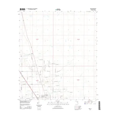
2015 Map of Boyd
USGS Topo · Published 2015About this map
Perry occupies the southern edge of this Taylor County landscape, where the local street grid meets a network of rural roads and timbered corridors. North of the town center, the small settlement of Boyd is situated near the upper reaches of Rocky Creek. The area is defined by its subtle drainage patterns, with several named waterways like Woods Creek, Pimple Creek, and Spring Creek meandering through the terrain.
Find a feature on this map
76 named features on this map. Tap any name to fly to it.
Don’t see what you’re looking for? This feature index may not catch every label — zoom into the map to look around manually.
Map Details
Editions of this 2015 Boyd Map
This is the sole edition of this map. No revisions or reprints were ever made.
Other maps of this area
1952 · Secotan
USGS Topo · 1:24,000
1954 · Fenholloway
USGS Topo · 1:24,000
1954 · Boyd
USGS Topo · 1:24,000
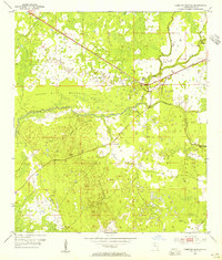
1954 · Hampton Springs
USGS Topo · 1:24,000
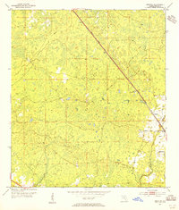
1954 · Secotan
USGS Topo · 1:24,000
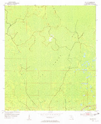
1954 · Day NW
USGS Topo · 1:24,000

1954 · Valdosta
USGS Topo · 1:250,000
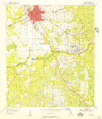
1955 · Perry
USGS Topo · 1:24,000
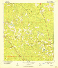
1955 · Shady Grove
USGS Topo · 1:24,000
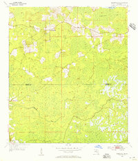
1955 · Greenville SE
USGS Topo · 1:24,000