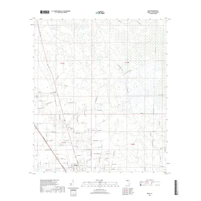
2018 Map of Boyd
USGS Topo · Published 2018About this map
Perry marks the southern boundary of this survey, where the town's northern streets meet the vast wetlands of the San Pedro Bay region. This landscape is defined by its timber and drainage history, evidenced by a dense network of naming conventions tied to private land holdings and logging infrastructure. Routes such as the Madison Main Line Grd and Paul Jefferies Logging Rd pierce the swampy terrain, while the small settlement of Boyd serves as a northern waypoint. Waterways like Rocky Cr and Pimple Cr thread through the lowlands, shaping the layout of rural residences and agriculture. Local heritage is preserved at sites like Shiloh Cem off Shiloh Church Rd, and specialized landmarks such as Lumar Field appear amidst the drainage canals and creeks that characterize this portion of Taylor County.
Find a feature on this map
89 named features on this map. Tap any name to fly to it.
Don’t see what you’re looking for? This feature index may not catch every label — zoom into the map to look around manually.
Map Details
Editions of this 2018 Boyd Map
This is the sole edition of this map. No revisions or reprints were ever made.
Other maps of this area
1952 · Secotan
USGS Topo · 1:24,000
1954 · Fenholloway
USGS Topo · 1:24,000
1954 · Boyd
USGS Topo · 1:24,000
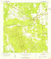
1954 · Hampton Springs
USGS Topo · 1:24,000
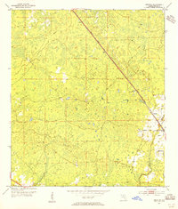
1954 · Secotan
USGS Topo · 1:24,000
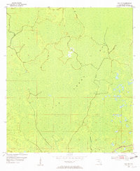
1954 · Day NW
USGS Topo · 1:24,000

1954 · Valdosta
USGS Topo · 1:250,000
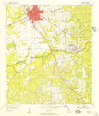
1955 · Perry
USGS Topo · 1:24,000
1955 · Shady Grove
USGS Topo · 1:24,000
1955 · Greenville SE
USGS Topo · 1:24,000