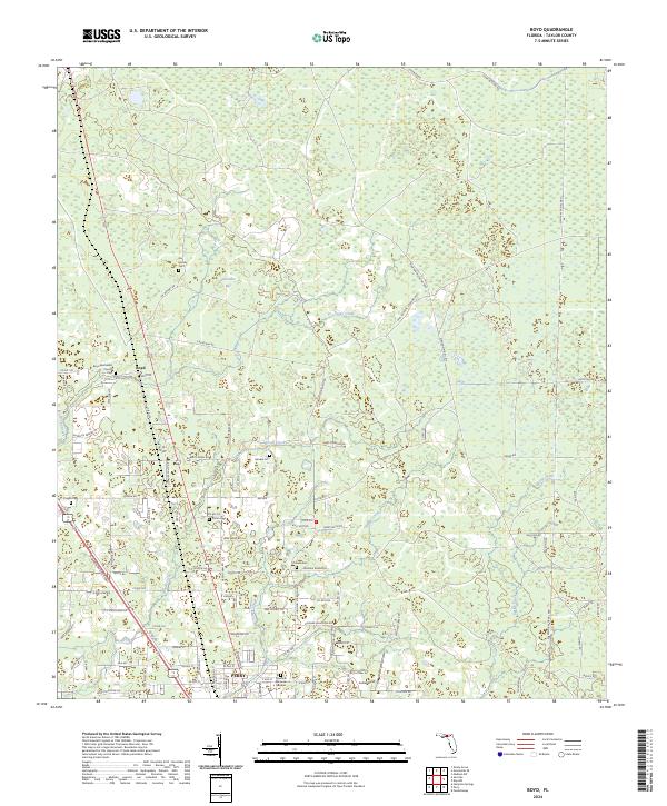
2024 Map of Boyd
USGS Topo · Published 2024About this map
Perry anchor the southern edge of this Taylor County landscape, where the town's grid meets a sprawling network of logging roads and drainage canals. Northward, the terrain transitions into the dense wetlands of San Pedro Bay, a region defined by its timber and water management history. The map meticulously documents a lineage of rural community life through its concentration of family and church burial grounds, including the Shiloh Cem, Pisgah Cem, and the Boyd Methodist Church Cem in the settlement of Boyd. Infrastructure designed for the local timber industry is evident in the straight tracks of the Madison Main Line and the Paul Jefferies Logging Rd, which cut through the swampy lowlands. Waterways like Rocky Creek and Spring Creek wind through the interior, while the Main Bay Canal Grd suggests a highly engineered approach to the surrounding bay and creek systems.
Find a feature on this map
109 named features on this map. Tap any name to fly to it.
Don’t see what you’re looking for? This feature index may not catch every label — zoom into the map to look around manually.
Map Details
Editions of this 2024 Boyd Map
This is the sole edition of this map. No revisions or reprints were ever made.
Other maps of this area

1952 · Secotan
USGS Topo · 1:24,000

1954 · Fenholloway
USGS Topo · 1:24,000

1954 · Boyd
USGS Topo · 1:24,000

1954 · Hampton Springs
USGS Topo · 1:24,000

1954 · Secotan
USGS Topo · 1:24,000

1954 · Day NW
USGS Topo · 1:24,000

1954 · Valdosta
USGS Topo · 1:250,000

1955 · Perry
USGS Topo · 1:24,000

1955 · Shady Grove
USGS Topo · 1:24,000

1955 · Greenville SE
USGS Topo · 1:24,000