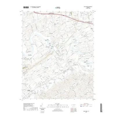
2019 Map of Boyds Creek
USGS Topo · Published 2019About this map
The French Broad River carves a winding path through the borderlands of Knox and Sevier Counties, defined by its numerous islands and shoals like Seven Islands and Huffaker Shoals. This 2019 survey documents a landscape where agricultural roots and rural residential clusters persist alongside significant topographic features like Pine Ridge and Whittle Mtn. The river's influence on the local economy and geography is evident in the naming of river bends such as Frazier Bend and Underwood Bend, and the presence of historically significant river crossings. Genealogists will find a concentration of family-named landmarks and burial grounds, including Boyds Creek Cem and Trundle Cem, reflecting the deep settlement history of communities like Boyds Creek and Trundle Crossroads. Small-scale aviation is represented by the Kenner Farm Airport, tucked away near the Little River.
Find a feature on this map
84 named features on this map. Tap any name to fly to it.
Don’t see what you’re looking for? This feature index may not catch every label — zoom into the map to look around manually.
Map Details
Editions of this 2019 Boyds Creek Map
This is the sole edition of this map. No revisions or reprints were ever made.
Other maps of this area

1886 · Knoxville
USGS Topo · 1:125,000

1892 · Knoxville
USGS Topo · 1:125,000

1894 · Knoxville
USGS Topo · 1:125,000

1895 · Knoxville
USGS Topo · 1:125,000

1897 · Maynardville
USGS Topo · 1:125,000

1900 · Maynardville
USGS Topo · 1:125,000

1901 · Knoxville
USGS Topo · 1:125,000

1935 · Mascot
USGS Topo · 1:24,000

1935 · Knoxville
USGS Topo · 1:48,000

1935 · Straw Plains
USGS Topo · 1:48,000