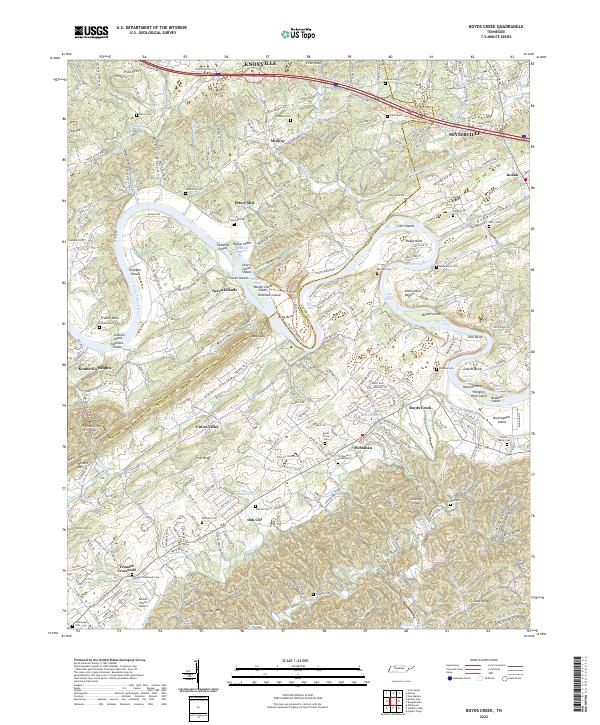
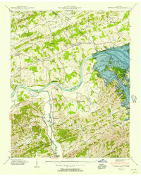
2022 Map of Boyds Creek
USGS Topo · Published 2022About this map
The French Broad River carves a winding path through the heart of the Tennessee countryside, defining the agricultural and residential landscape between Knoxville and Sevierville. This area is characterized by dramatic river bends and fertile valleys such as Dumplin Valley and Union Valley, where small communities like Peters Mill, Boyds Creek, and Kodak are situated. The river itself is dotted with significant landforms including Seven Islands, Cain Islands, and Hanging Rock Island, which have historically influenced navigation and land use along the waterway.
Find a feature on this map
72 named features on this map. Tap any name to fly to it.
Don’t see what you’re looking for? This feature index may not catch every label — zoom into the map to look around manually.
Map Details
Editions of this 2022 Boyds Creek Map
This is the sole edition of this map. No revisions or reprints were ever made.
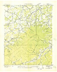
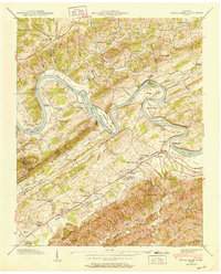
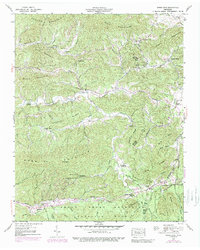
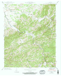
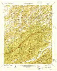
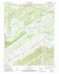
Historical Maps of Union Valley Through Time
28 maps found

1935 Boyds Creek
Sevier County, TN

1935 English Mountain
Sevier County, TN

1935 Jones Cove
Sevier County, TN

1935 Kykers Ferry
Sevier County, TN

1935 Richardson Cove
Sevier County, TN
1935 Walden Creek
Sevier County, TN

1936 Cartertown
Sevier County, TN
1940 Boyds Creek
Sevier County, TN
1940 Jones Cove
Sevier County, TN
1940 Kykers Ferry
Sevier County, TN
1940 Richardson Cove
Sevier County, TN
1941 Walden Creek
Sevier County, TN
1953 Boyds Creek
Sevier County, TN
1953 Walden Creek
Sevier County, TN
1961 Douglas Dam
Sevier County, TN
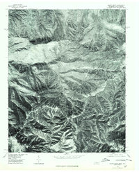
1964 Mount Guyot
Sevier County, TN
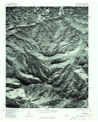
1964 Mount Le Conte
Sevier County, TN
1976 Mount Guyot
Sevier County, TN
1976 Mount Le Conte
Sevier County, TN
2000 Mount Guyot
Sevier County, TN
2000 Silers Bald
Sevier County, TN
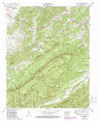
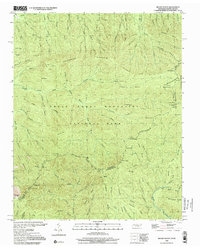
2022 Boyds Creek
Sevier County, TN
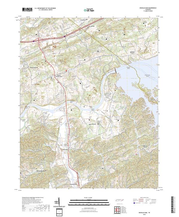
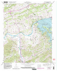
2022 Douglas Dam
Sevier County, TN
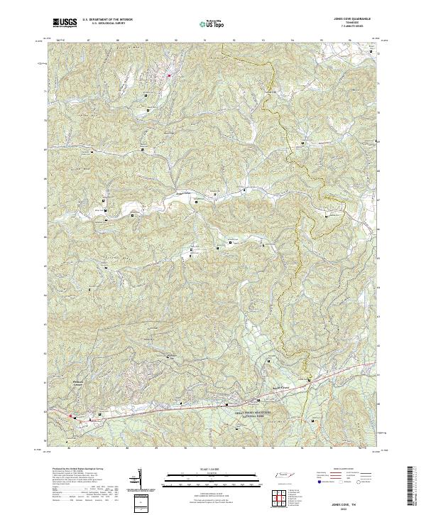
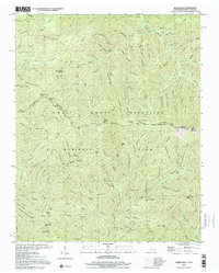
2022 Jones Cove
Sevier County, TN
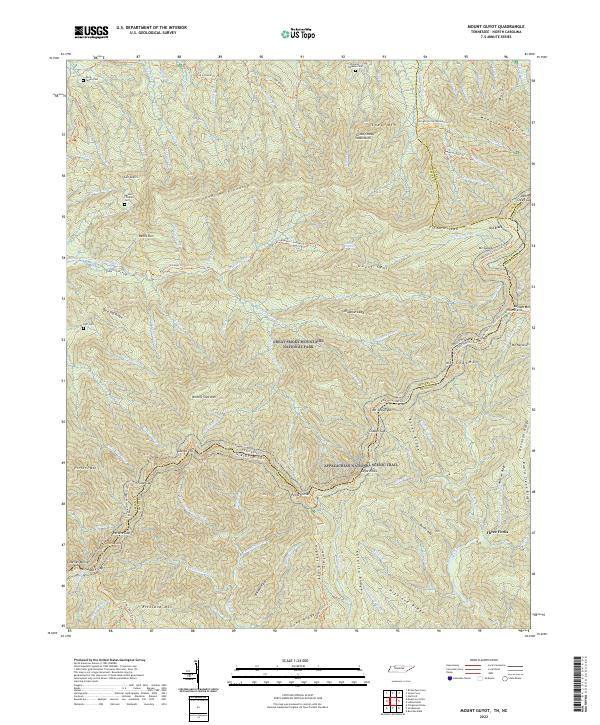
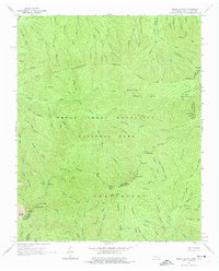
2022 Mount Guyot
Sevier County, TN
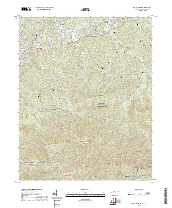
2022 Mount Le Conte
Sevier County, TN
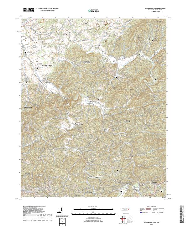
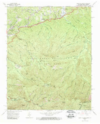
2022 Richardson Cove
Sevier County, TN
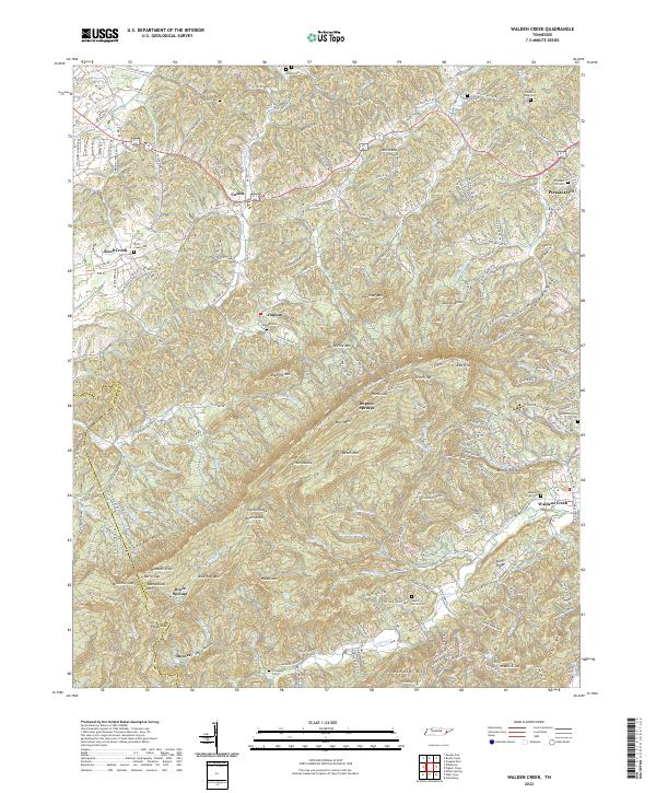
2022 Walden Creek
Sevier County, TN