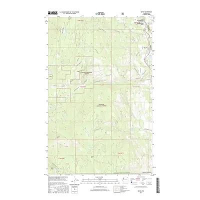
2017 Map of Boyds
USGS Topo · Published 2017About this map
Colville National Forest dominates this Northeast Washington landscape, where the waters of the Kettle River Arm transition into the northern reaches of the Lake Roosevelt National Recreation Area. The settlement of Boyds serves as a central point along the eastern boundary, situated near where the Ferry and Stevens county lines meet. The terrain is defined by significant elevations like Hoodoo Mtn and Bisbee Mtn, which overlook a network of drainage systems including Deadman Cr and Nancy Cr. In the southwest corner, the topography drops sharply into Hoodoo Canyon near Trout Lake. The map details an extensive network of Forest Service and county roads, such as Jackknife Lookout Rd and Matsen Creek Rd, providing access to the high ridges of Thompson Ridge and the southern Sherman Creek Game Range.
Find a feature on this map
50 named features on this map. Tap any name to fly to it.
Don’t see what you’re looking for? This feature index may not catch every label — zoom into the map to look around manually.
Map Details
Editions of this 2017 Boyds Map
This is the sole edition of this map. No revisions or reprints were ever made.
Other maps of this area
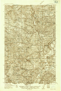
1936 · Marcus
USGS Topo · 1:96,000
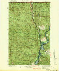
1942 · Marcus
USGS Topo · 1:125,000
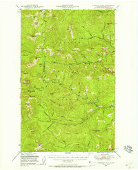
1948 · Sherman Peak
USGS Topo · 1:62,500
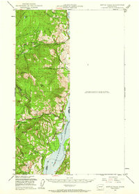
1948 · Kettle Falls
USGS Topo · 1:62,500
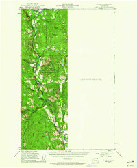
1948 · Orient
USGS Topo · 1:62,500
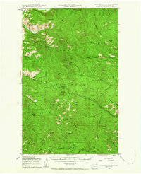
1948 · Togo Mountain
USGS Topo · 1:62,500
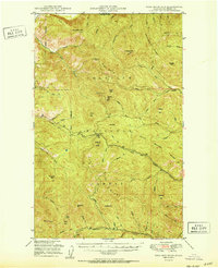
1951 · Togo Mountain
USGS Topo · 1:62,500
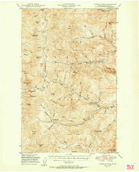
1951 · Sherman Peak
USGS Topo · 1:62,500
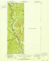
1951 · Orient
USGS Topo · 1:62,500
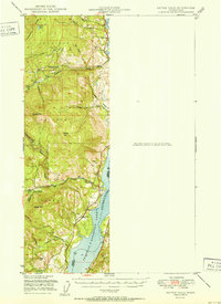
1951 · Kettle Falls
USGS Topo · 1:62,500