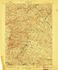
1902 Map of Boyertown
USGS Topo · Published 1906About this map
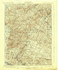
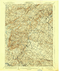
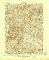
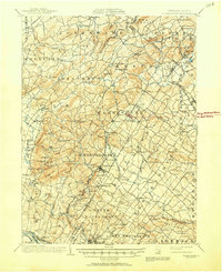
Boyertown serves as the central hub of this early twentieth-century survey, surrounded by a dense network of Pennsylvania Dutch Country settlements and industrial outposts. The landscape is defined by the sharp ridges of Topton Mountain and Blackhead Hill, where the headwaters of the Little Lehigh Creek and Manatawny Creek begin their descent. This era shows a region transition from rural iron production to a more connected rail economy, evidenced by landmarks like the Pine Ironworks and the numerous stops along the Perkiomen R. R. and P. and R. R. R.
Find a feature on this map
126 named features on this map. Tap any name to fly to it.
Don’t see what you’re looking for? This feature index may not catch every label — zoom into the map to look around manually.
Map Details
Editions of this 1902 Boyertown Map
9 editions found
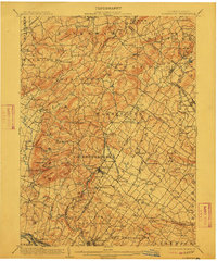
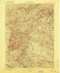
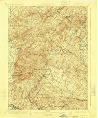
Other maps of this area

1888 · Quakertown
USGS Topo · 1:62,500

1890 · Quakertown
USGS Topo · 1:62,500

1894 · Reading
USGS Topo · 1:62,500

1894 · Allentown
USGS Topo · 1:62,500

1894 · Quakertown
USGS Topo · 1:62,500

1894 · Norristown
USGS Topo · 1:62,500

1895 · Norristown
USGS Topo · 1:62,500

1896 · Norristown
USGS Topo · 1:62,500

1902 · Boyertown
USGS Topo · 1:62,500

1902 · Slatington
USGS Topo · 1:62,500
Featured Places
- Pottstown, PA
- Limerick Township, PA
- New Hanover Township, PA
- Maxatawny Township, PA
- Longswamp Township, PA