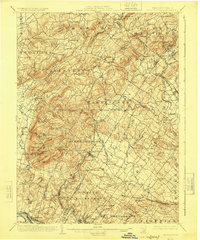
1902 Map of Boyertown
USGS Topo · Published 1924About this map
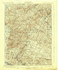
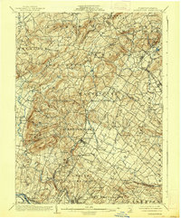
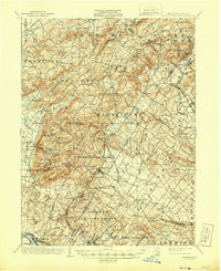
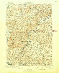
Boyertown sits at the heart of this landscape, serving as a hub for the agricultural and industrial activity of eastern Pennsylvania at the start of the twentieth century. The map illustrates a densely settled region of Berks and Montgomery counties, where the P. and R. R. R. and the Perkiomen R. R. connected small manufacturing and mining outposts like Ironstone to larger markets. The terrain is defined by a series of prominent peaks and gaps, including Topton Mountain, Rittenhouse Gap, and Devils Hump, which influenced the winding paths of the local road network.
Find a feature on this map
125 named features on this map. Tap any name to fly to it.
Don’t see what you’re looking for? This feature index may not catch every label — zoom into the map to look around manually.
Map Details
Editions of this 1902 Boyertown Map
9 editions found
Other maps of this area

1888 · Quakertown
USGS Topo · 1:62,500

1890 · Quakertown
USGS Topo · 1:62,500

1894 · Reading
USGS Topo · 1:62,500

1894 · Allentown
USGS Topo · 1:62,500

1894 · Quakertown
USGS Topo · 1:62,500

1894 · Norristown
USGS Topo · 1:62,500

1895 · Norristown
USGS Topo · 1:62,500

1896 · Norristown
USGS Topo · 1:62,500

1902 · Boyertown
USGS Topo · 1:62,500

1902 · Slatington
USGS Topo · 1:62,500
Featured Places
- Pottstown, PA
- Limerick Township, PA
- New Hanover Township, PA
- Maxatawny Township, PA
- Longswamp Township, PA