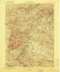
1902 Map of Boyertown
USGS Topo · Published 1919About this map
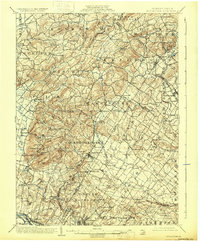
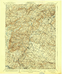
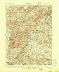
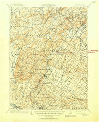
Boyertown and Pottstown serve as industrial and social anchors in this detailed 1900 survey of the Berks and Montgomery county borderlands. The landscape is defined by the Schuylkill River corridor and a dense network of early transportation, including the Electric R. R. and the P. and R. R. R.. Small, often family-centered crossroads such as Landis Store, Gabel Hill, and Englesville dot the valleys between prominent landmarks like Devils Hump and Furnace Hill. This era captures the transition from rural iron-working hamlets like Ironstone and Pine Forge toward more established boroughs. Geologists and local historians will find interest in the distinct topographical features, from the peaks of Topton Mountain to the recreation grounds at Ringing Rock Park, highlighting how the natural terrain dictated the paths of winding creeks like Manatawny Creek and the placement of long-standing congregations at Hill Church.
Find a feature on this map
118 named features on this map. Tap any name to fly to it.
Don’t see what you’re looking for? This feature index may not catch every label — zoom into the map to look around manually.
Map Details
Editions of this 1902 Boyertown Map
9 editions found
Other maps of this area

1888 · Quakertown
USGS Topo · 1:62,500

1890 · Quakertown
USGS Topo · 1:62,500

1894 · Reading
USGS Topo · 1:62,500

1894 · Allentown
USGS Topo · 1:62,500

1894 · Quakertown
USGS Topo · 1:62,500

1894 · Norristown
USGS Topo · 1:62,500

1895 · Norristown
USGS Topo · 1:62,500

1896 · Norristown
USGS Topo · 1:62,500

1902 · Boyertown
USGS Topo · 1:62,500

1902 · Slatington
USGS Topo · 1:62,500
Featured Places
- Pottstown, PA
- Limerick Township, PA
- New Hanover Township, PA
- Maxatawny Township, PA
- Longswamp Township, PA