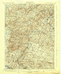
1902 Map of Boyertown
USGS Topo · Published 1931About this map
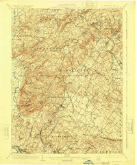
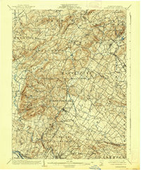
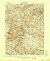
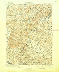
Boyertown and the surrounding Berks and Montgomery County hills appear here as a landscape defined by small-scale industrial settlements and early rail corridors at the turn of the century. The Colebrookdale Branch and Perkiomen RR anchor the local economy, connecting villages like Bechtelsville and Barto to the larger hub of Pottstown along the Schuylkill River. The terrain is notable for its numerous named summits such as Fancy Hill, Owl Head, and Stone Cave Hill, reflecting a deep local geography tied to specific ridges and gaps.
Find a feature on this map
125 named features on this map. Tap any name to fly to it.
Don’t see what you’re looking for? This feature index may not catch every label — zoom into the map to look around manually.
Map Details
Editions of this 1902 Boyertown Map
9 editions found
Other maps of this area

1888 · Quakertown
USGS Topo · 1:62,500

1890 · Quakertown
USGS Topo · 1:62,500

1894 · Reading
USGS Topo · 1:62,500

1894 · Allentown
USGS Topo · 1:62,500

1894 · Quakertown
USGS Topo · 1:62,500

1894 · Norristown
USGS Topo · 1:62,500

1895 · Norristown
USGS Topo · 1:62,500

1896 · Norristown
USGS Topo · 1:62,500

1902 · Boyertown
USGS Topo · 1:62,500

1902 · Slatington
USGS Topo · 1:62,500
Featured Places
- Pottstown, PA
- Limerick Township, PA
- New Hanover Township, PA
- Maxatawny Township, PA
- Longswamp Township, PA