
1902 Map of Boyertown
USGS Topo · Published 1902About this map
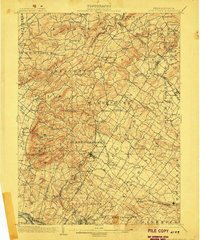
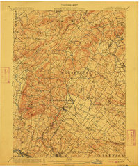
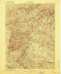
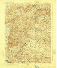
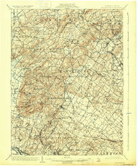
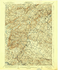
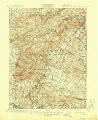
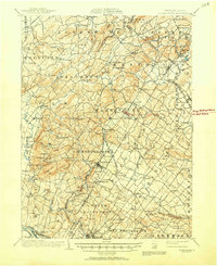
Boyertown and the surrounding townships of Berks and Montgomery Counties appear here at the start of the 20th century, defined by a complex network of small settlements and rugged iron-producing terrain. This survey reflects a mature agrarian and industrial landscape where prominent landmarks like Hill Church and Huffs Church anchor the rural social structure. The area’s industrial heritage is evident in features such as Furnace Hill and the Colebrookdale Branch rail line, which served the region's mineral wealth.
Find a feature on this map
131 named features on this map. Tap any name to fly to it.
Don’t see what you’re looking for? This feature index may not catch every label — zoom into the map to look around manually.
Map Details
Editions of this 1902 Boyertown Map
9 editions found
Other maps of this area

1888 · Quakertown
USGS Topo · 1:62,500

1890 · Quakertown
USGS Topo · 1:62,500

1894 · Reading
USGS Topo · 1:62,500

1894 · Allentown
USGS Topo · 1:62,500

1894 · Quakertown
USGS Topo · 1:62,500

1894 · Norristown
USGS Topo · 1:62,500

1895 · Norristown
USGS Topo · 1:62,500

1896 · Norristown
USGS Topo · 1:62,500

1902 · Slatington
USGS Topo · 1:62,500

1905 · Honey Brook
USGS Topo · 1:62,500
Featured Places
- Pottstown, PA
- Limerick Township, PA
- New Hanover Township, PA
- Maxatawny Township, PA
- Longswamp Township, PA