Loading...
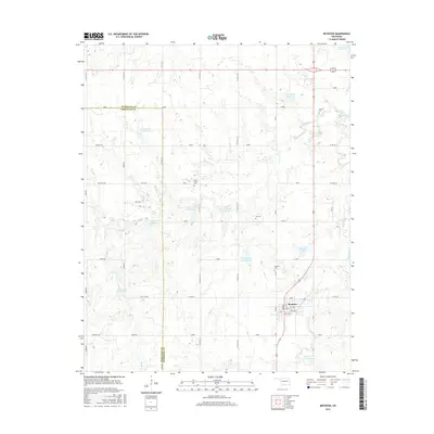
Loading map...1971 Map of Boynton
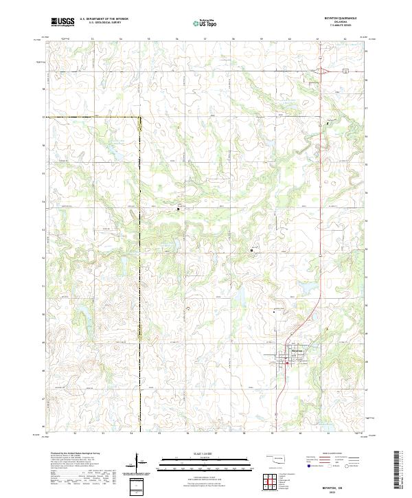
USGS Topo · Published 1977About this map
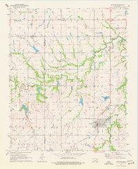
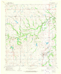
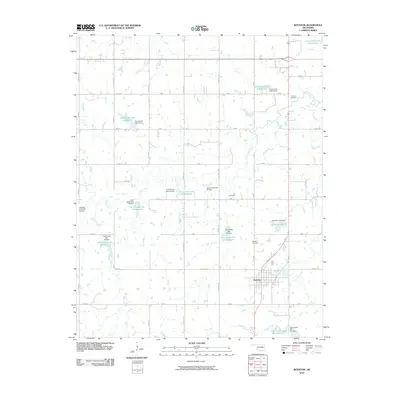
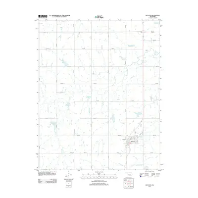
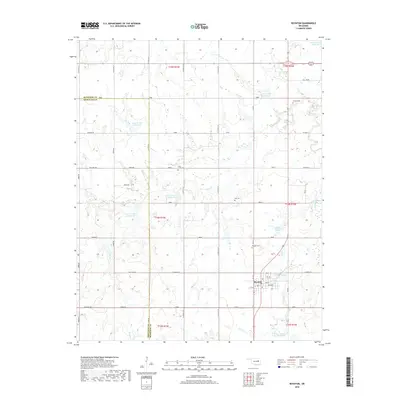
Boynton serves as the primary hub in this portion of Oklahoma, situated where the St Louis - San Francisco railroad cuts through the southern landscape. The terrain is defined by the winding course of Cane Creek and its tributary, Walnut Creek, which flow through the natural rises of Bald Hills and Sutton. The industrial legacy of the region is evident in the extensive Oil Field and numerous Oil Wells peppered across the northern sections, while a major Pipeline traverses the county line between Muskogee and Okmulgee.
Find a feature on this map
19 named features on this map. Tap any name to fly to it.
Don’t see what you’re looking for? This feature index may not catch every label — zoom into the map to look around manually.
Map Details
Date Portrayed1971
Date Published1977
PublisherU.S. Geological Survey
Map TypeTopographic
Scale1:24,000
Physical Dimensions22.1 x 27.1 inches
Editions of this 1971 Boynton Map
2 editions found
Historical Maps of Boynton Through Time
6 maps found
Featured Locations
Source Details
SourceU.S. Geological Survey
CopyrightPublic Domain