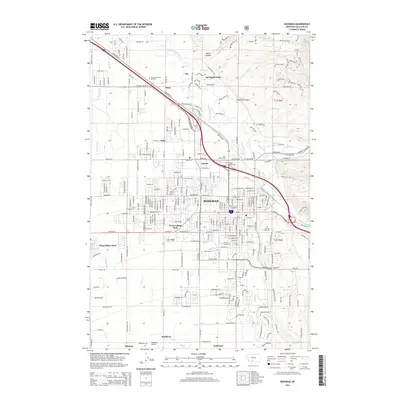
2014 Map of Bozeman
USGS Topo · Published 2014About this map
Bozeman expands outward from its historic core in this 2014 survey, illustrating the modern growth of this Gallatin County hub. The expansive campus of Montana State University dominates the southern portion of the city, while several residential developments like West College Park and King Arthur Park reflect suburbanization patterns. A cluster of historic sites remains preserved near the city's northeast edge, including the noted Boot Hill and Sunset Hills Cemetery, which stand alongside newer infrastructure.
Find a feature on this map
55 named features on this map. Tap any name to fly to it.
Don’t see what you’re looking for? This feature index may not catch every label — zoom into the map to look around manually.
Map Details
Editions of this 2014 Bozeman Map
This is the sole edition of this map. No revisions or reprints were ever made.
Other maps of this area

1888 · Three Forks
USGS Topo · 1:250,000

1891 · Livingston
USGS Topo · 1:250,000

1893 · Livingston
USGS Topo · 1:250,000

1894 · Three Forks
USGS Topo · 1:250,000

1895 · Three Forks
USGS Topo · 1:250,000

1947 · Bozeman
USGS Topo · 1:250,000

1948 · Bozeman
USGS Topo · 1:250,000

1950 · Belgrade
USGS Topo · 1:62,500

1951 · Bozeman Pass
USGS Topo · 1:62,500

1951 · Sedan
USGS Topo · 1:62,500