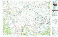
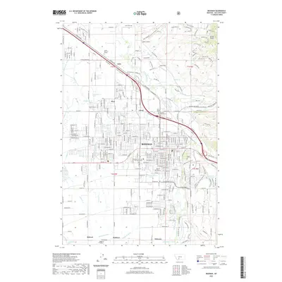
1958 Map of Bozeman
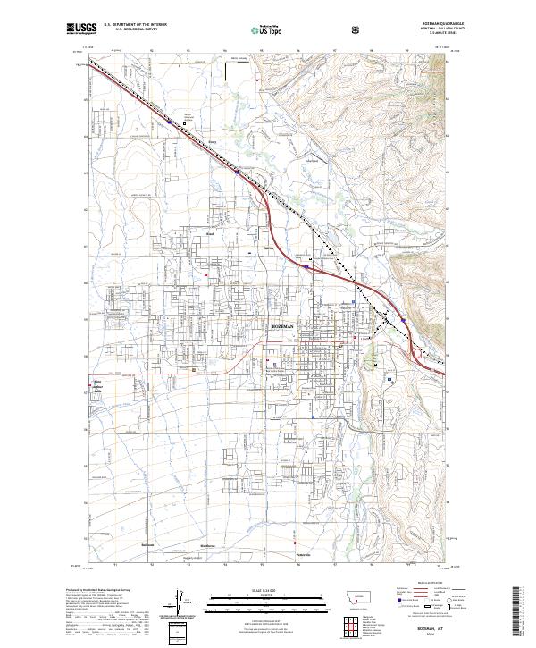
USGS Topo · Published 1974About this map
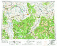
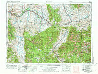
The Missouri River headwaters emerge where the Gallatin River, Madison River, and Jefferson River converge near Three Forks, anchoring this mid-century survey of the Northern Rockies. The landscape is defined by massive massifs including the Madison Range, Gallatin Range, and the Absaroka Range, with the northern reaches of Yellowstone National Park visible along the southern border. Smaller agrarian and rail-focused settlements like Manhattan, Belgrade, and Amsterdam surround the regional hub of Bozeman, while the high country features scattered mines and the Coal Mine on the Boulder Plateau. The transport network of the era relies heavily on the Burlington Northern and Chicago Milwaukee St Paul and Pacific railroads, which parallel the river valleys and serve the burgeoning recreation and timber interests across the Gallatin National Forest. Local landmarks like the Manhattan School and the Church Hill community provide specific points of interest for genealogists.
Find a feature on this map
121 named features on this map. Tap any name to fly to it.
Don’t see what you’re looking for? This feature index may not catch every label — zoom into the map to look around manually.
Map Details
Editions of this 1958 Bozeman Map
3 editions found

Historical Maps of Bozeman Through Time
13 maps found

1947 Bozeman
Gallatin County, MT

1948 Bozeman
Gallatin County, MT
1953 Bozeman
Gallatin County, MT

1955 Bozeman
Gallatin County, MT
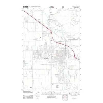
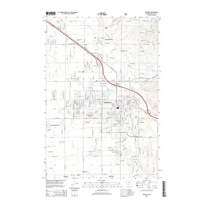
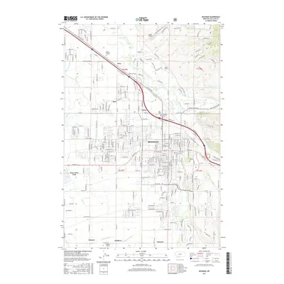
1958 Bozeman
Gallatin County, MT

1965 Bozeman
Gallatin County, MT
1987 Bozeman
Gallatin County, MT
1992 Bozeman
Gallatin County, MT
2011 Bozeman
Gallatin County, MT
2014 Bozeman
Gallatin County, MT
2017 Bozeman
Gallatin County, MT
2020 Bozeman
Gallatin County, MT
2024 Bozeman
Gallatin County, MT