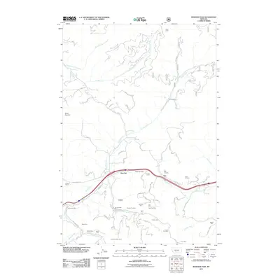
2011 Map of Bozeman Pass
USGS Topo · Published 2011About this map
Bozeman Pass serves as a critical mountain gateway where the infrastructure of transportation meets a legacy of extraction. The passage is anchored by the Bozeman Tunnel and the small settlements of West End and Muir, which mark the high point of this corridor. The landscape south of the pass is heavily marked by early 21st-century mining data, showing an intensive cluster of operations including the Anaconda Copper Mines, Mountainside Mine, and Coulston Mine.
Find a feature on this map
80 named features on this map. Tap any name to fly to it.
Don’t see what you’re looking for? This feature index may not catch every label — zoom into the map to look around manually.
Map Details
Editions of this 2011 Bozeman Pass Map
This is the sole edition of this map. No revisions or reprints were ever made.
Other maps of this area

1891 · Livingston
USGS Topo · 1:250,000

1893 · Livingston
USGS Topo · 1:250,000

1947 · Bozeman
USGS Topo · 1:250,000

1948 · Bozeman
USGS Topo · 1:250,000

1951 · Bozeman Pass
USGS Topo · 1:62,500

1951 · Gobblers Knob
USGS Topo · 1:24,000

1951 · Hoppers
USGS Topo · 1:24,000

1951 · Chimney Rock
USGS Topo · 1:24,000

1951 · Sedan
USGS Topo · 1:62,500

1955 · Bozeman
USGS Topo · 1:250,000