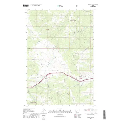
2020 Map of Bozeman Pass
USGS Topo · Published 2020About this map
Bozeman Pass serves as the central crossing point between the high peaks of the Bridger Range and the surrounding drainages within the Gallatin National Forest. This 2020 survey details the complex transportation and settlement patterns near the border of Gallatin and Park counties. The map highlights the engineering legacy of the Bozeman Tunnel and the small communities of West End and Muir that developed along the mountain transit corridor. Family and community history is preserved through the locations of the Timberline Cem, Muir Cem, and Vater's Cem. The drainage patterns are clearly defined, with Billman Cr and Rocky Cr flowing from the divide, alongside numerous ranch roads and trails like Wapiti Peak Trl and Goes Nowhere Rd that cut through the high-elevation terrain.
Find a feature on this map
81 named features on this map. Tap any name to fly to it.
Don’t see what you’re looking for? This feature index may not catch every label — zoom into the map to look around manually.
Map Details
Editions of this 2020 Bozeman Pass Map
This is the sole edition of this map. No revisions or reprints were ever made.
Other maps of this area

1891 · Livingston
USGS Topo · 1:250,000

1893 · Livingston
USGS Topo · 1:250,000

1947 · Bozeman
USGS Topo · 1:250,000

1948 · Bozeman
USGS Topo · 1:250,000

1951 · Bozeman Pass
USGS Topo · 1:62,500

1951 · Gobblers Knob
USGS Topo · 1:24,000

1951 · Hoppers
USGS Topo · 1:24,000

1951 · Chimney Rock
USGS Topo · 1:24,000

1951 · Sedan
USGS Topo · 1:62,500

1955 · Bozeman
USGS Topo · 1:250,000