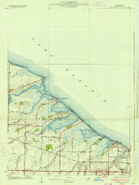
1934 Map of Braddock Heights
USGS Topo · Published 1934About this map
Lake Ontario defines the northern edge of this 1930s landscape, where a series of prominent lagoons including Braddock Bay, Cranberry Pond, and Buck Pond create a distinctive shoreline of points and bluffs. The area shows a transition between the established inland community of North Greece and the developing lakefront settlements like Grand View Heights and Island Cottage Beach. Local infrastructure is well-documented through the placement of Frisbee Hill Sch and Sch No 13, alongside family-named landmarks such as Frisbee Hill and Rigney Bluff. The internal network of the town of Greece is visible through roads like Latta Road and Manitou Road, connecting the southern agricultural and residential clusters with the recreational beaches. A notable detail is the presence of Greece Sta, reflecting the importance of the rail connection for this coastal Monroe County community during the mid-Depression era.
Find a feature on this map
47 named features on this map. Tap any name to fly to it.
Don’t see what you’re looking for? This feature index may not catch every label — zoom into the map to look around manually.
Map Details
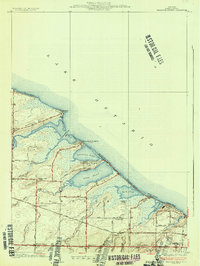
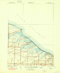
Editions of this 1934 Braddock Heights Map
Other maps of this area

1895 · Rochester
USGS Topo · 1:62,500

1895 · Ontario Beach
USGS Topo · 1:62,500

1898 · Rochester
USGS Topo · 1:62,500

1899 · Hamlin
USGS Topo · 1:62,500

1899 · Ontario Beach
USGS Topo · 1:62,500

1899 · Brockport
USGS Topo · 1:62,500

1912 · Rochester
USGS Topo · 1:62,500

1912 · Ontario Beach
USGS Topo · 1:62,500

1920 · Rochester
USGS Topo · 1:62,500

1931 · Rochester West
USGS Topo · 1:24,000