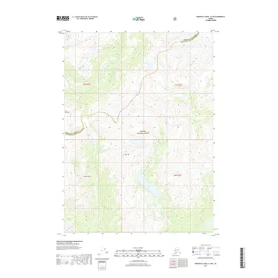
2017 Map of Bradfield Canal A-4 NE
USGS Topo · Published 2017About this map
Tongass National Forest dominates this section of the Alaskan wilderness, where the high peaks of the Coast Mountains define the physical landscape. The drainage system of the Eulachon River flows through deep valleys between these massifs, eventually providing a corridor for the boundary between Wrangell Borough and Ketchikan Gateway Borough. High-altitude water bodies like Spur Mountain Lake, situated just south of the prominent Spur Mtn, illustrate the glacial topography characteristic of this region. This 2017 survey shows the land as it exists within the federal forest system, where steep contours and waterway-defined borders remain the primary landmarks for navigators and surveyors in one of the most remote stretches of southeast Alaska.
Find a feature on this map
10 named features on this map. Tap any name to fly to it.
Don’t see what you’re looking for? This feature index may not catch every label — zoom into the map to look around manually.
Map Details
Editions of this 2017 Bradfield Canal A-4 NE Map
This is the sole edition of this map. No revisions or reprints were ever made.
Other maps of this area

1951 · Bradfield Canal
USGS Topo · 1:250,000

1954 · Bradfield Canal
USGS Topo · 1:250,000

1955 · Bradfield canal B-3
USGS Topo · 1:63,360

1955 · Bradfield canal A-4
USGS Topo · 1:63,360

1955 · Bradfield canal B-4
USGS Topo · 1:63,360

1955 · Bradfield canal A-3
USGS Topo · 1:63,360

1955 · Bradfield Canal
USGS Topo · 1:250,000
1995 · Bradfield Canal A-4
USGS Topo · 1:63,360
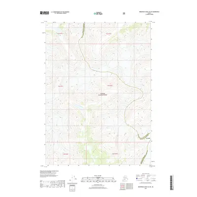
2017 · Bradfield Canal B-4 SE
USGS Topo · 1:25,000
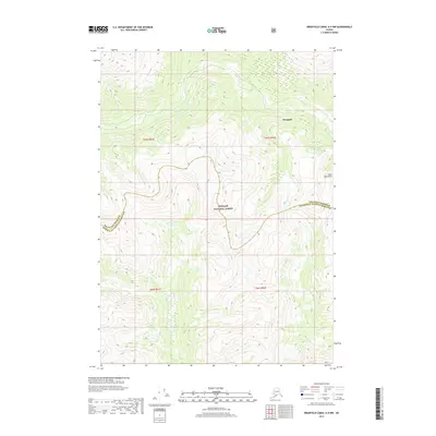
2017 · Bradfield Canal A-4 NW
USGS Topo · 1:25,000