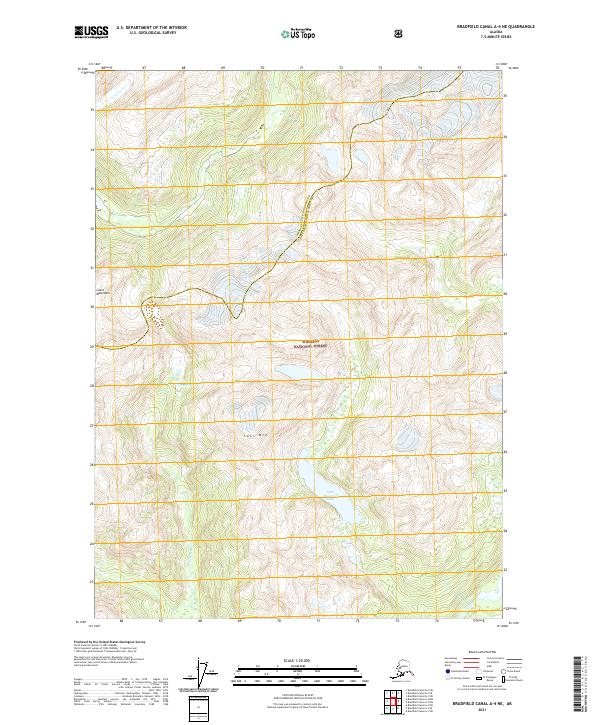
2021 Map of Bradfield Canal A-4 NE
USGS Topo · Published 2021About this map
The Coast Mountains dominate the high-altitude landscape of this 2021 study, where steep ridgelines descend into the deep glacial valleys of the Tongass National Forest. This southeastern Alaskan territory is defined by its dramatic relief and significant water features, most notably Spur Mountain Lake and the Eulachon River, which drains the western slopes. The map also delineates the administrative boundary between the Wrangell City and Borough and the Ketchikan Gateway Borough, illustrating how modern municipal lines are often drawn across some of the most remote and undeveloped terrain in the United States. While the area lacks permanent settlements, the detailed contouring provides an essential record of the hydrology and topography near Spur Mtn as it appeared in the early 21st century.
Find a feature on this map
10 named features on this map. Tap any name to fly to it.
Don’t see what you’re looking for? This feature index may not catch every label — zoom into the map to look around manually.
Map Details
Editions of this 2021 Bradfield Canal A-4 NE Map
This is the sole edition of this map. No revisions or reprints were ever made.
Other maps of this area

1951 · Bradfield Canal
USGS Topo · 1:250,000

1954 · Bradfield Canal
USGS Topo · 1:250,000

1955 · Bradfield canal B-3
USGS Topo · 1:63,360

1955 · Bradfield canal A-4
USGS Topo · 1:63,360

1955 · Bradfield canal B-4
USGS Topo · 1:63,360

1955 · Bradfield canal A-3
USGS Topo · 1:63,360

1955 · Bradfield Canal
USGS Topo · 1:250,000
1995 · Bradfield Canal A-4
USGS Topo · 1:63,360
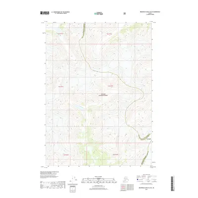
2017 · Bradfield Canal B-4 SE
USGS Topo · 1:25,000
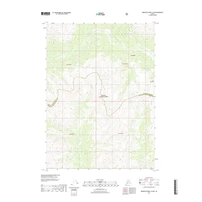
2017 · Bradfield Canal A-4 NW
USGS Topo · 1:25,000