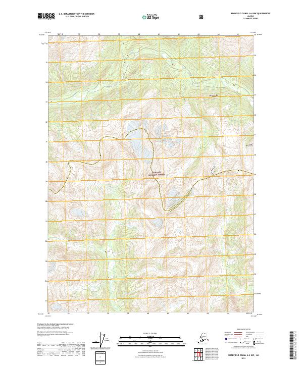
2021 Map of Bradfield Canal A-4 NW
USGS Topo · Published 2021About this map
Tongass National Forest dominates this Alaskan landscape, where the high peaks of the Coast Mountains meet the administrative reaches of the Wrangell City and Borough Ketchikan Gateway Borough. This modern topographic survey illustrates the intersection of vast federal forest lands and local borough boundaries in a region defined by its steep verticality and glacial terrain. The map provides a clear look at the township and range system, including t65s r91e, t65s r92e, t66s r91e, and t66s r92e, which structure the land use in this part of the panhandle. While the named feature Wrangell appears as a point of orientation, the map primarily highlights the natural geography and the intricate jurisdictional boundaries that define the southeastern Alaskan wilderness.
Find a feature on this map
8 named features on this map. Tap any name to fly to it.
Don’t see what you’re looking for? This feature index may not catch every label — zoom into the map to look around manually.
Map Details
Editions of this 2021 Bradfield Canal A-4 NW Map
This is the sole edition of this map. No revisions or reprints were ever made.
Other maps of this area

1951 · Bradfield Canal
USGS Topo · 1:250,000

1954 · Bradfield Canal
USGS Topo · 1:250,000

1955 · Bradfield canal A-4
USGS Topo · 1:63,360

1955 · Bradfield canal B-5
USGS Topo · 1:63,360

1955 · Bradfield canal B-4
USGS Topo · 1:63,360

1955 · Bradfield Canal A-5
USGS Topo · 1:63,360

1955 · Bradfield Canal
USGS Topo · 1:250,000
1995 · Bradfield Canal A-4
USGS Topo · 1:63,360
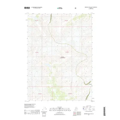
2017 · Bradfield Canal B-4 SE
USGS Topo · 1:25,000
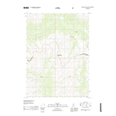
2017 · Bradfield Canal A-4 NW
USGS Topo · 1:25,000