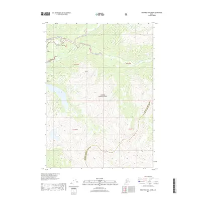
2017 Map of Bradfield Canal A-5 NE
USGS Topo · Published 2017About this map
The Bradfield River and its major tributaries dominate this landscape within the Tongass National Forest, where the river system carves through the Coast Mountains. This 2017 survey documents a wilderness environment defined by the confluence of the N Fork Bradfield River and the E Fork Bradfield River as they flow westward toward the Bradfield Canal. To the south, Tyee Lake sits beneath the heights of Mt Tyee, feeding into Tyee Cr. The map also captures the jurisdictional boundary where the Wrangell Borough Ketchikan Gateway Borough line traverses the high ridges, separating these two administrative regions amidst a network of glacial drainages including Grant Cr. The survey illustrates the complex hydrology of the river delta and the surrounding steep-walled mountain topography.
Find a feature on this map
14 named features on this map. Tap any name to fly to it.
Don’t see what you’re looking for? This feature index may not catch every label — zoom into the map to look around manually.
Map Details
Editions of this 2017 Bradfield Canal A-5 NE Map
This is the sole edition of this map. No revisions or reprints were ever made.
Other maps of this area

1951 · Bradfield Canal
USGS Topo · 1:250,000

1954 · Bradfield Canal
USGS Topo · 1:250,000

1955 · Bradfield canal A-4
USGS Topo · 1:63,360

1955 · Bradfield canal B-5
USGS Topo · 1:63,360

1955 · Bradfield canal B-4
USGS Topo · 1:63,360

1955 · Bradfield Canal A-5
USGS Topo · 1:63,360

1955 · Bradfield Canal
USGS Topo · 1:250,000
1995 · Bradfield Canal A-4
USGS Topo · 1:63,360
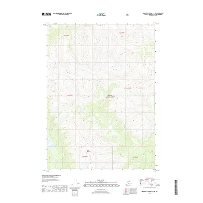
2017 · Bradfield Canal B-5 SW
USGS Topo · 1:25,000
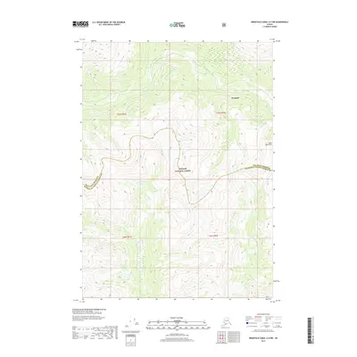
2017 · Bradfield Canal A-4 NW
USGS Topo · 1:25,000