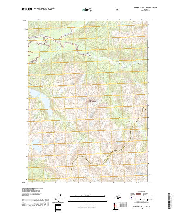
2021 Map of Bradfield Canal A-5 NE
USGS Topo · Published 2021About this map
Tongass National Forest dominates this Alaskan landscape where the Bradfield River and its major tributaries carve through the Coast Mountains. The northern portion of the map traces the intricate paths of the N Fork Bradfield River and the E Fork Bradfield River, illustrating the complex drainage patterns of this glacially influenced terrain. Rising above the valleys, Mt Tyee stands as a prominent peak, looking down upon the secluded waters of Tyee Lake. The map also captures a significant administrative boundary where the Wrangell City And Borough meets the Ketchikan Gateway Borough. This 2021 survey documents the undeveloped character of the region, emphasizing natural landmarks and hydrological features like Tyee Cr and Grant Cr rather than human settlements.
Find a feature on this map
14 named features on this map. Tap any name to fly to it.
Don’t see what you’re looking for? This feature index may not catch every label — zoom into the map to look around manually.
Map Details
Editions of this 2021 Bradfield Canal A-5 NE Map
This is the sole edition of this map. No revisions or reprints were ever made.
Other maps of this area

1951 · Bradfield Canal
USGS Topo · 1:250,000

1954 · Bradfield Canal
USGS Topo · 1:250,000

1955 · Bradfield canal A-4
USGS Topo · 1:63,360

1955 · Bradfield canal B-5
USGS Topo · 1:63,360

1955 · Bradfield canal B-4
USGS Topo · 1:63,360

1955 · Bradfield Canal A-5
USGS Topo · 1:63,360

1955 · Bradfield Canal
USGS Topo · 1:250,000
1995 · Bradfield Canal A-4
USGS Topo · 1:63,360
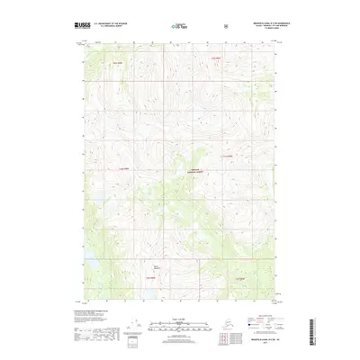
2017 · Bradfield Canal B-5 SW
USGS Topo · 1:25,000
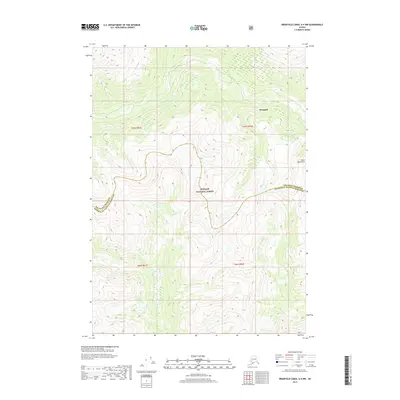
2017 · Bradfield Canal A-4 NW
USGS Topo · 1:25,000