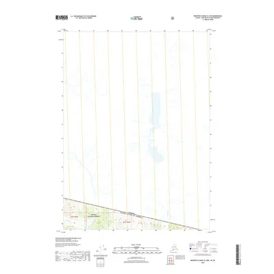
2018 Map of Bradfield Canal B-3 NW
USGS Topo · Published 2018About this map
The Canada United States of America international boundary cuts across the southern portion of this terrain, marking the high-altitude divide between Alaska and British Columbia. This 2018 survey reveals a landscape dominated by the Tongass National Forest, where the complex drainage systems of the Blue River and the W Fork Blue River flow through glaciated valleys. The presence of the Lava Lakes and the Lava Fork in the central part of the quadrangle highlights a unique volcanic and glacial history that has shaped the hydrography of the region. These remote waterways and their surrounding peaks characterize a wilderness where the natural topography dictates the path of the border, providing a precise record of the physical geography of the Ketchikan Gateway Borough at the start of the twenty-first century.
Find a feature on this map
8 named features on this map. Tap any name to fly to it.
Don’t see what you’re looking for? This feature index may not catch every label — zoom into the map to look around manually.
Map Details
Editions of this 2018 Bradfield Canal B-3 NW Map
This is the sole edition of this map. No revisions or reprints were ever made.
Other maps of this area

1951 · Bradfield Canal
USGS Topo · 1:250,000

1954 · Bradfield Canal
USGS Topo · 1:250,000

1955 · Bradfield canal B-3
USGS Topo · 1:63,360

1955 · Bradfield canal B-4
USGS Topo · 1:63,360

1955 · Bradfield Canal
USGS Topo · 1:250,000
2017 · Bradfield Canal B-4 NE
USGS Topo · 1:25,000
2017 · Bradfield Canal B-4 SE
USGS Topo · 1:25,000
2018 · Bradfield Canal B-3 SE
USGS Topo · 1:25,000
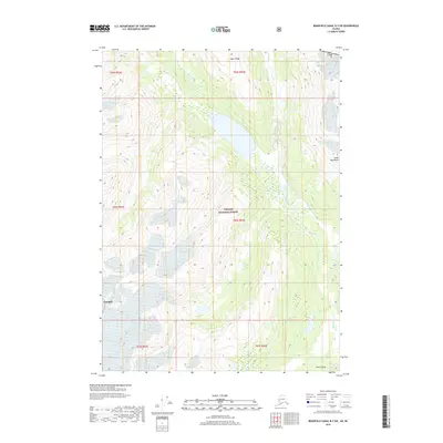
2018 · Bradfield Canal B-3 SW
USGS Topo · 1:25,000
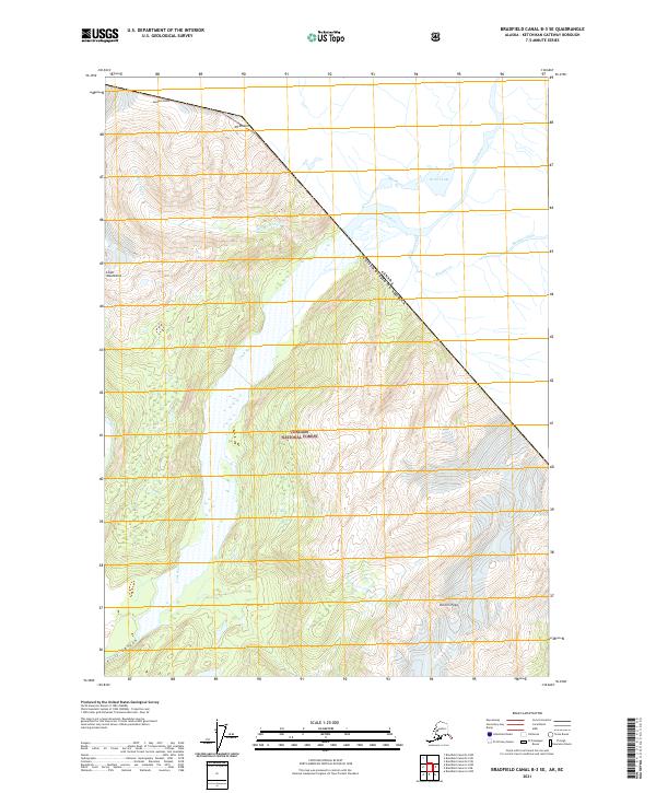
2021 · Bradfield Canal B-3 SE
USGS Topo · 1:25,000