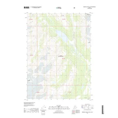
2018 Map of Bradfield Canal B-3 SW
USGS Topo · Published 2018About this map
The Tongass National Forest dominates this Alaskan wilderness landscape along the international boundary between the Usa and British Columbia. The topography is defined by the sharp elevations of the Coast Mountains, where Albert Ridge stands as a prominent northern feature. A complex network of glacial and mountain waters flows through the territory, including the braided path of the Blue River and the narrow corridor of Lava Fork. To the southeast, the terrain drops significantly at First Canyon before meeting the larger Unuk River. This map captures a remote section of the Wrangell district, emphasizing the raw physical geography of the region as it existed in the early 21st century, prior to significant modern infrastructure development.
Find a feature on this map
15 named features on this map. Tap any name to fly to it.
Don’t see what you’re looking for? This feature index may not catch every label — zoom into the map to look around manually.
Map Details
Editions of this 2018 Bradfield Canal B-3 SW Map
This is the sole edition of this map. No revisions or reprints were ever made.
Other maps of this area

1951 · Bradfield Canal
USGS Topo · 1:250,000

1954 · Bradfield Canal
USGS Topo · 1:250,000

1955 · Bradfield canal B-3
USGS Topo · 1:63,360

1955 · Bradfield canal A-4
USGS Topo · 1:63,360

1955 · Bradfield canal B-4
USGS Topo · 1:63,360

1955 · Bradfield canal A-3
USGS Topo · 1:63,360

1955 · Bradfield Canal
USGS Topo · 1:250,000
1995 · Bradfield Canal A-4
USGS Topo · 1:63,360
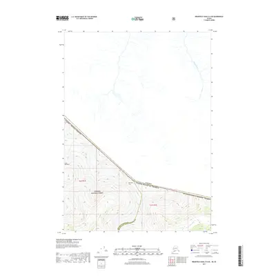
2017 · Bradfield Canal B-4 NE
USGS Topo · 1:25,000
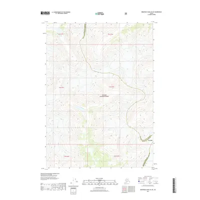
2017 · Bradfield Canal B-4 SE
USGS Topo · 1:25,000