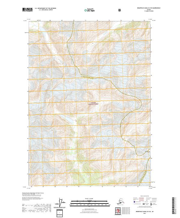
2021 Map of Bradfield Canal B-4 SE
USGS Topo · Published 2021About this map
Tongass National Forest dominates this Alaskan landscape, where the high-altitude terrain is defined by steep glacial valleys and sharp ridge lines. The Blue River carves through the northern reaches of the quadrangle, flowing through a deep valley that underscores the area's remote wilderness character. Modern administrative boundaries are a primary focus of this data, specifically the intersection of the Ketchikan Gateway Borough and Wrangell City and Borough. While the map bears the label for Wrangell in the southeast corner, it represents a location within the municipal borough rather than a dense town site. This 2021 update primarily serves to document these jurisdictional lines and the natural hydrography of the region in the early twenty-first century.
Find a feature on this map
11 named features on this map. Tap any name to fly to it.
Don’t see what you’re looking for? This feature index may not catch every label — zoom into the map to look around manually.
Map Details
Editions of this 2021 Bradfield Canal B-4 SE Map
This is the sole edition of this map. No revisions or reprints were ever made.
Other maps of this area

1951 · Bradfield Canal
USGS Topo · 1:250,000

1954 · Bradfield Canal
USGS Topo · 1:250,000

1955 · Bradfield canal B-3
USGS Topo · 1:63,360

1955 · Bradfield canal A-4
USGS Topo · 1:63,360

1955 · Bradfield canal B-4
USGS Topo · 1:63,360

1955 · Bradfield canal A-3
USGS Topo · 1:63,360

1955 · Bradfield Canal
USGS Topo · 1:250,000
1995 · Bradfield Canal A-4
USGS Topo · 1:63,360
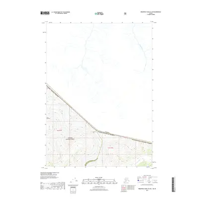
2017 · Bradfield Canal B-4 NE
USGS Topo · 1:25,000
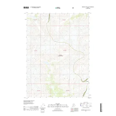
2017 · Bradfield Canal B-4 SE
USGS Topo · 1:25,000