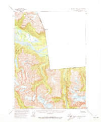
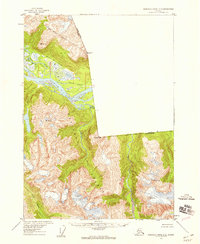
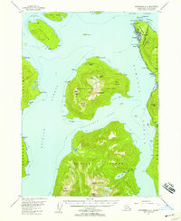
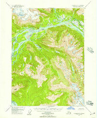
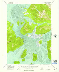
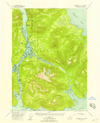
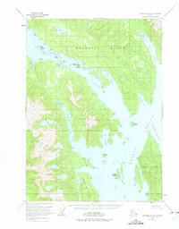
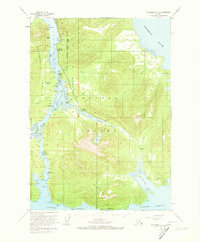
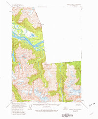
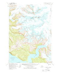
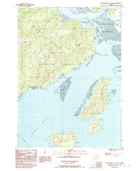
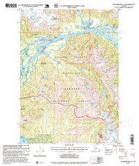
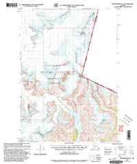
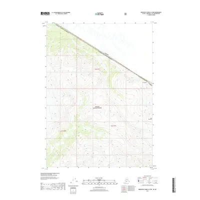
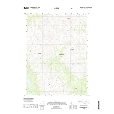
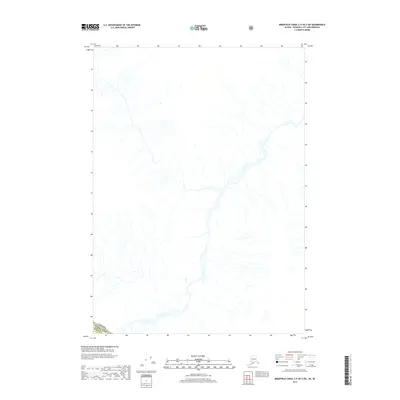
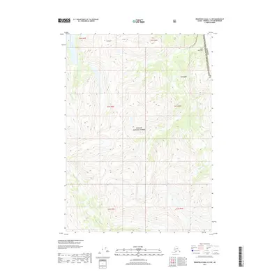
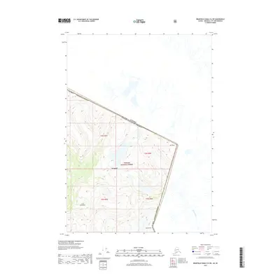
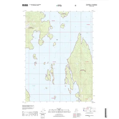
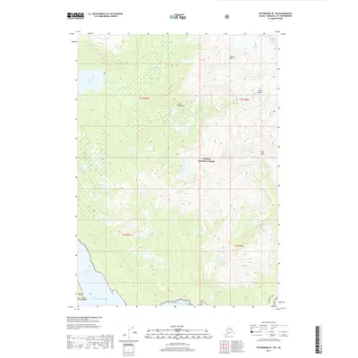
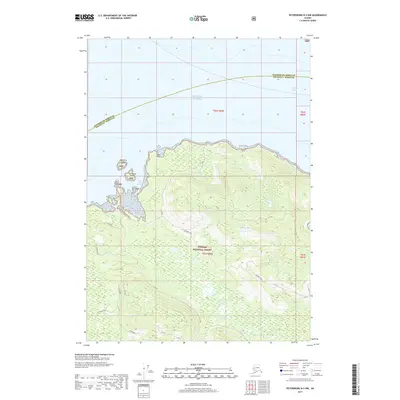
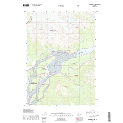
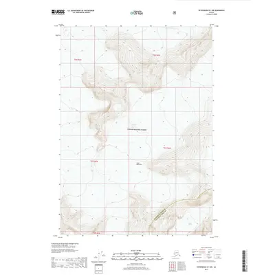
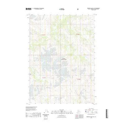
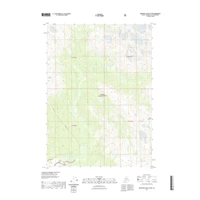
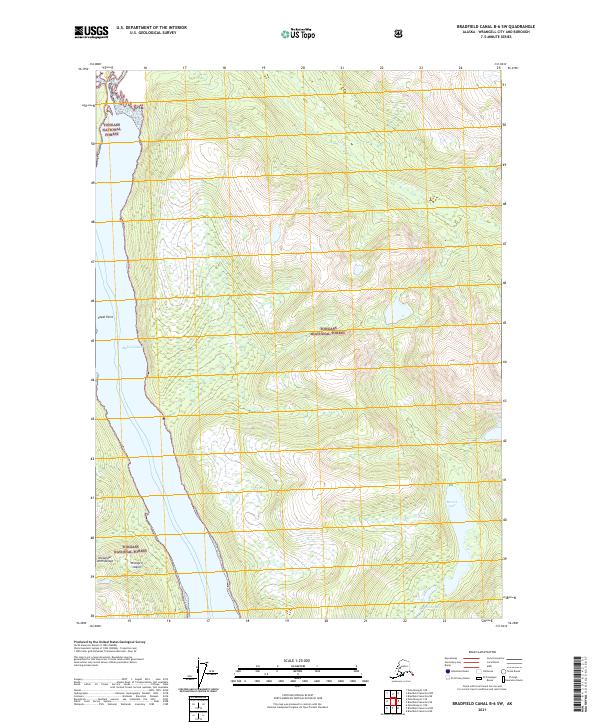
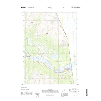
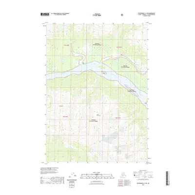
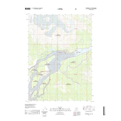
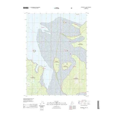
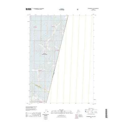
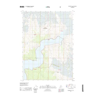
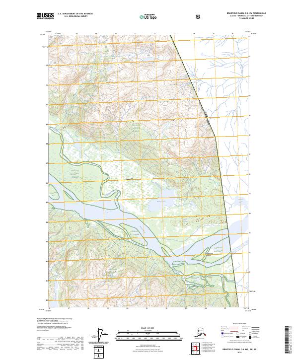
1955 Map of Bradfield canal C-6
USGS Topo · Published 1973About this map
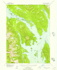
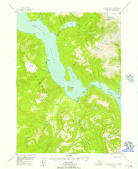
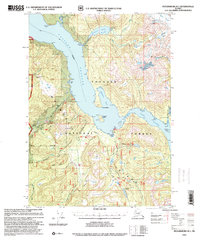
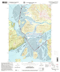
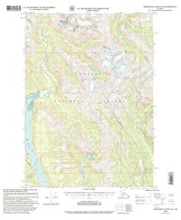
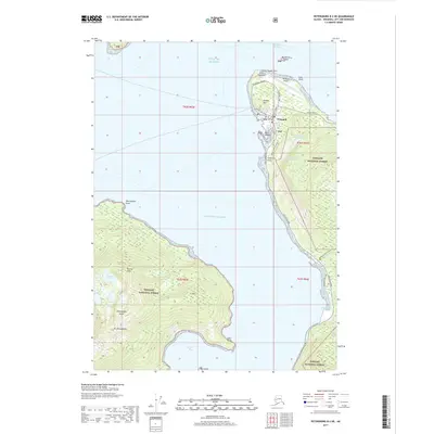
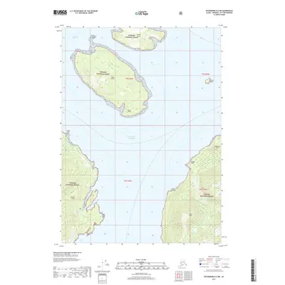
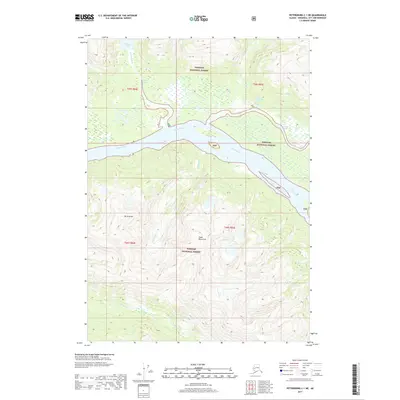
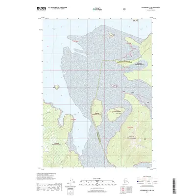
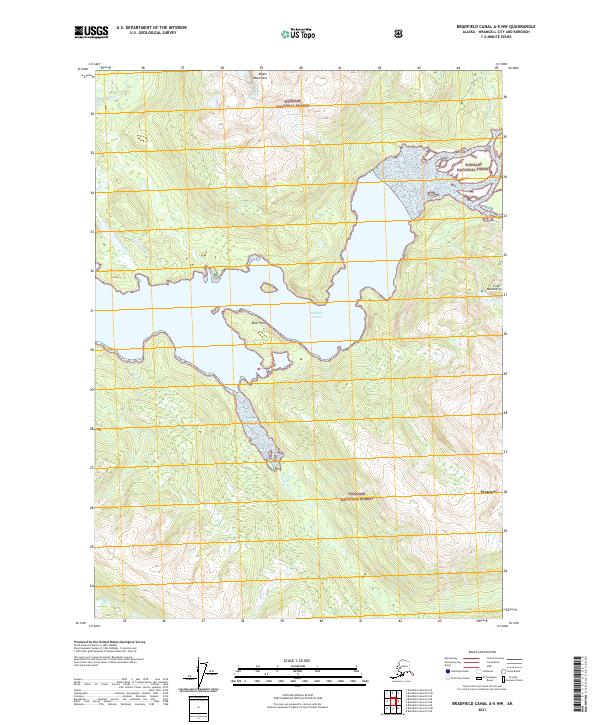
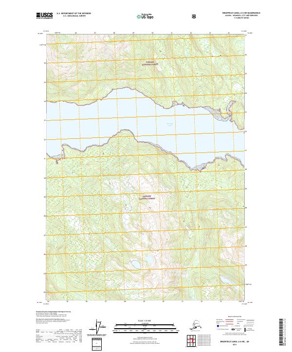
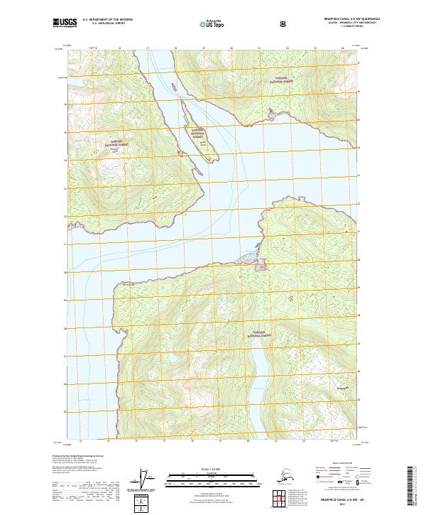
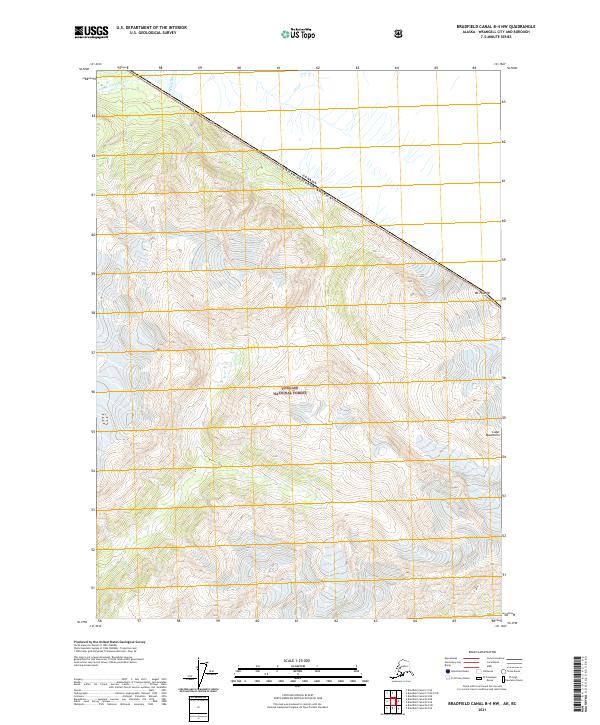
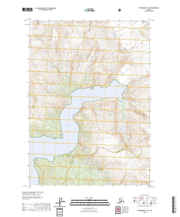
The Stikine River dominates this mid-century survey of the Alaska-Canada borderlands, carving a wide path through the southeast wilderness near Wrangell. The river's complex hydrology is evident in the network of side channels and wetlands, including Guerin Slough and Red Slough, which branch off near the southern edge of Barnes Lake. This region of the Tongass National Forest is defined by its dramatic vertical relief, where peaks like Mt Flemer and Black Crag tower over the drainage basins.
Find a feature on this map
18 named features on this map. Tap any name to fly to it.
Don’t see what you’re looking for? This feature index may not catch every label — zoom into the map to look around manually.
Map Details
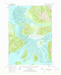
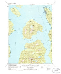
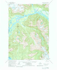
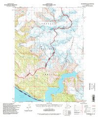
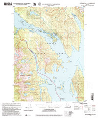
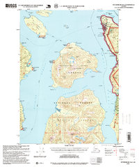
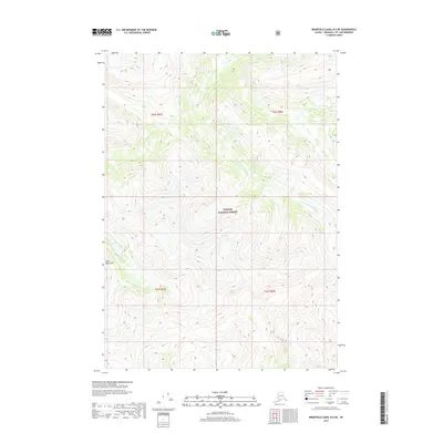
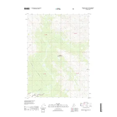
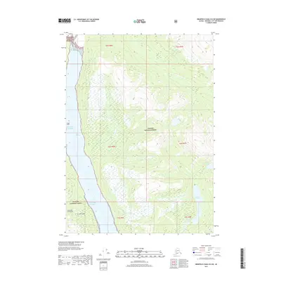
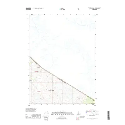
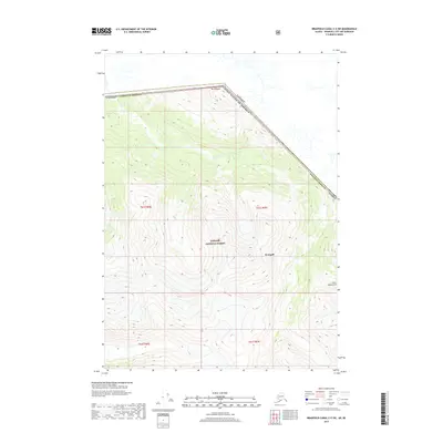
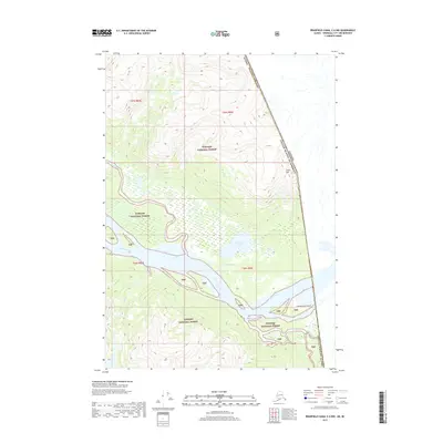
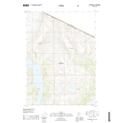
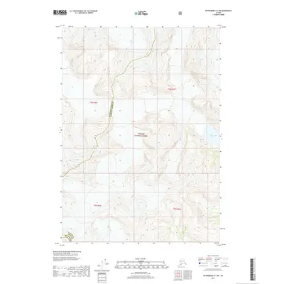
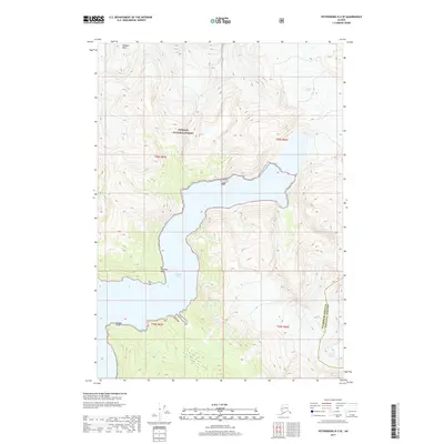
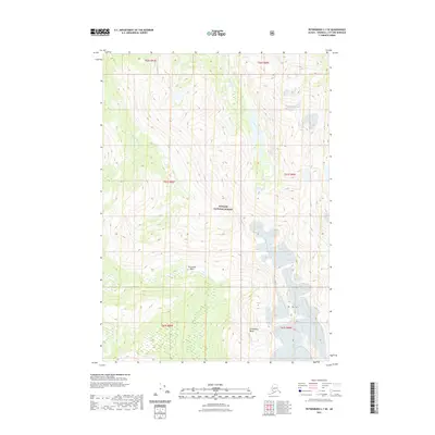
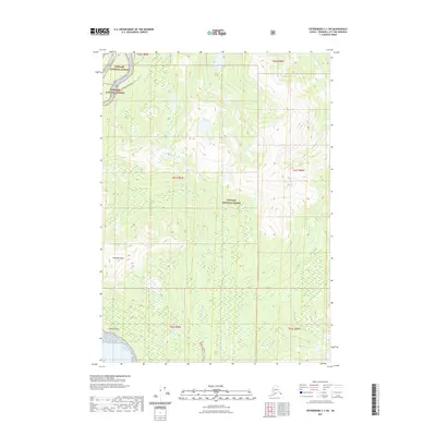
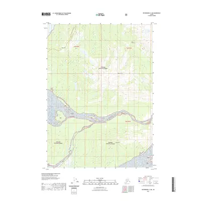
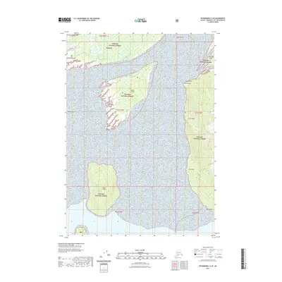
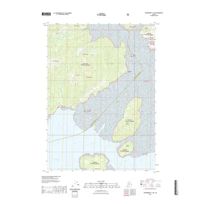
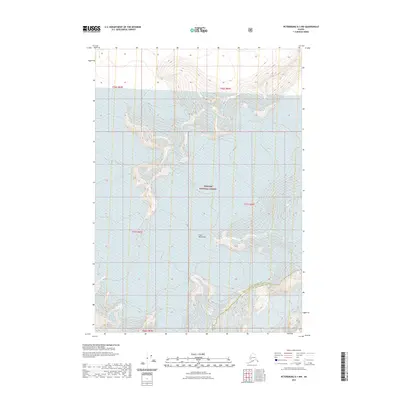
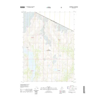
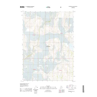
Editions of this 1955 Bradfield canal C-6 Map
3 editions found
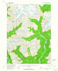
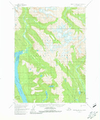
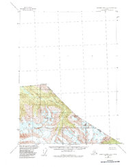
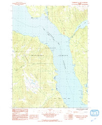
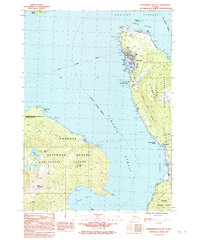
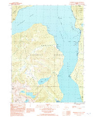
Historical Maps of United States Through Time
159 maps found
1948 Petersburg A-1
Wrangell Borough, AK
1948 Petersburg B-1
Wrangell Borough, AK
1948 Petersburg B-2
Wrangell Borough, AK
1948 Petersburg C-1
Wrangell Borough, AK
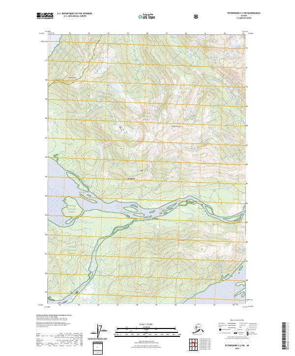
1948 Petersburg C-2
Wrangell Borough, AK
1948 Petersburg C-3
Wrangell Borough, AK
1951 Petersburg A-1
Wrangell Borough, AK
1951 Petersburg C-2
Wrangell Borough, AK
1953 Petersburg B-2
Wrangell Borough, AK
1953 Petersburg C-1
Wrangell Borough, AK
1953 Petersburg C-3
Wrangell Borough, AK
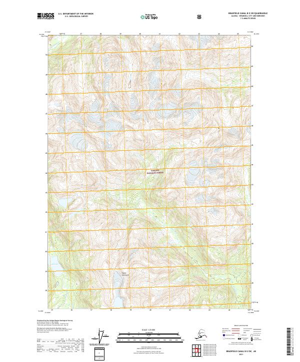
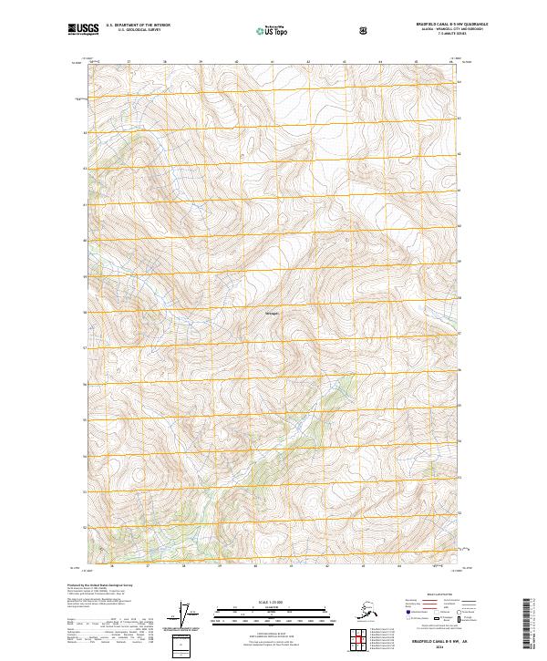
1955 Bradfield canal B-5
Wrangell Borough, AK
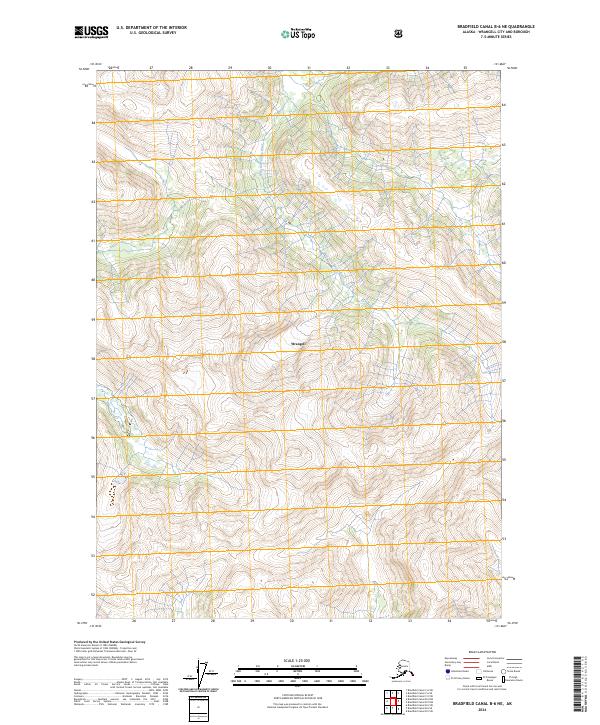
1955 Bradfield canal B-6
Wrangell Borough, AK
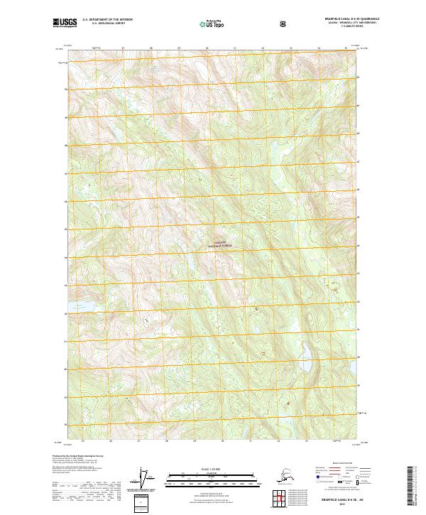
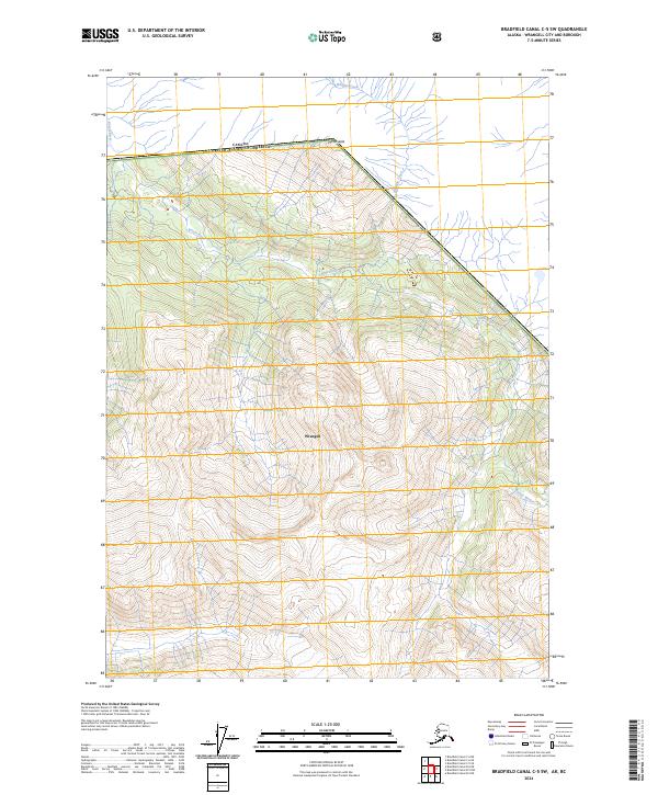
1955 Bradfield Canal C-5
Wrangell Borough, AK
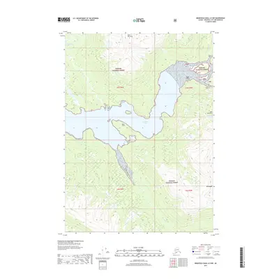
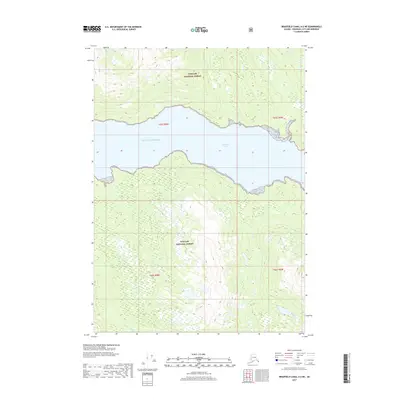
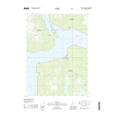
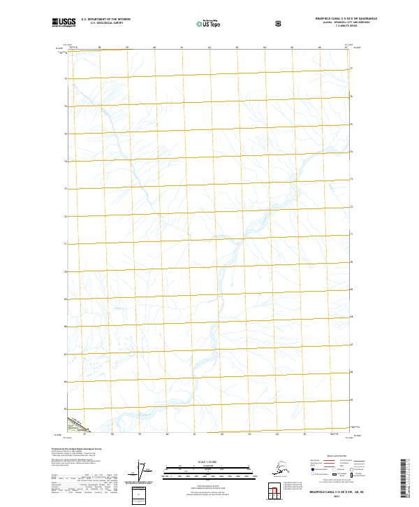
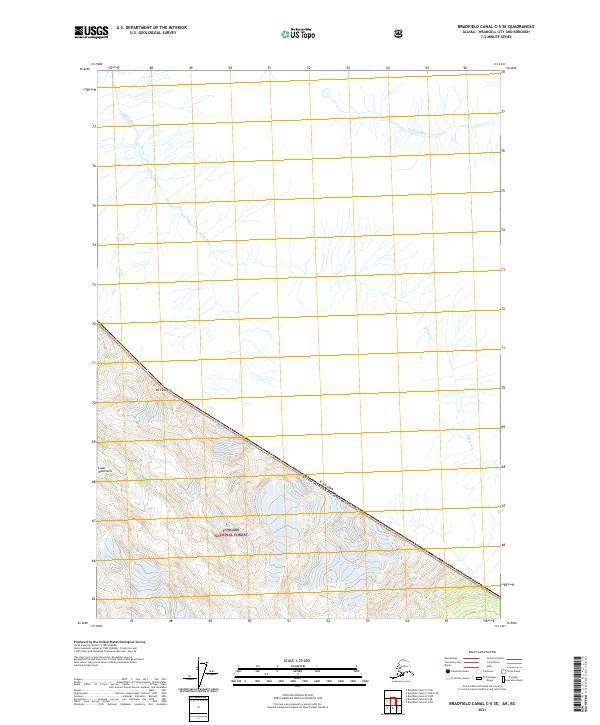
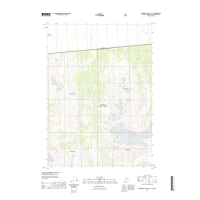
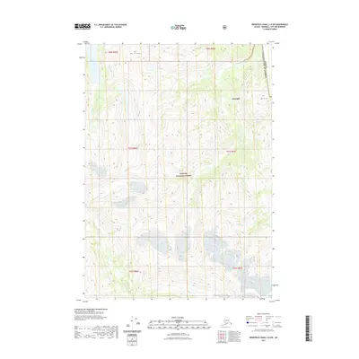
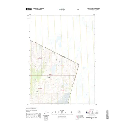
1955 Bradfield canal C-6
Wrangell Borough, AK
1955 Bradfield canal D-6
Wrangell Borough, AK
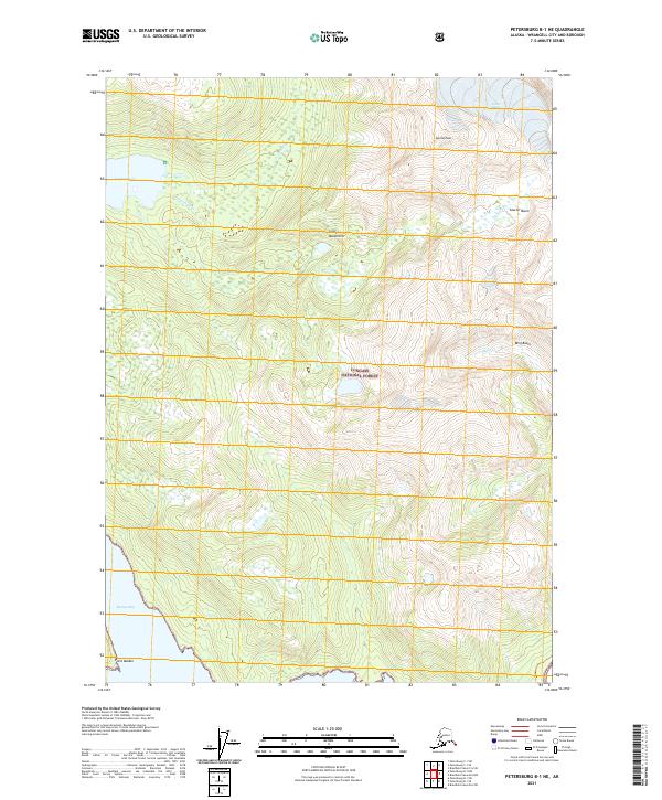
1955 Petersburg B-1
Wrangell Borough, AK
1961 Petersburg D-1
Wrangell Borough, AK
1961 Petersburg D-2
Wrangell Borough, AK
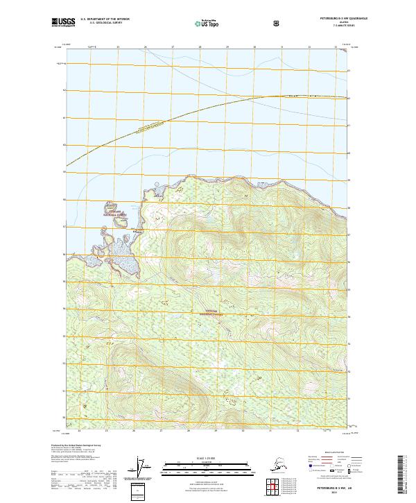
1992 Petersburg B-1 NW
Wrangell Borough, AK
1992 Petersburg B-2 NE
Wrangell Borough, AK
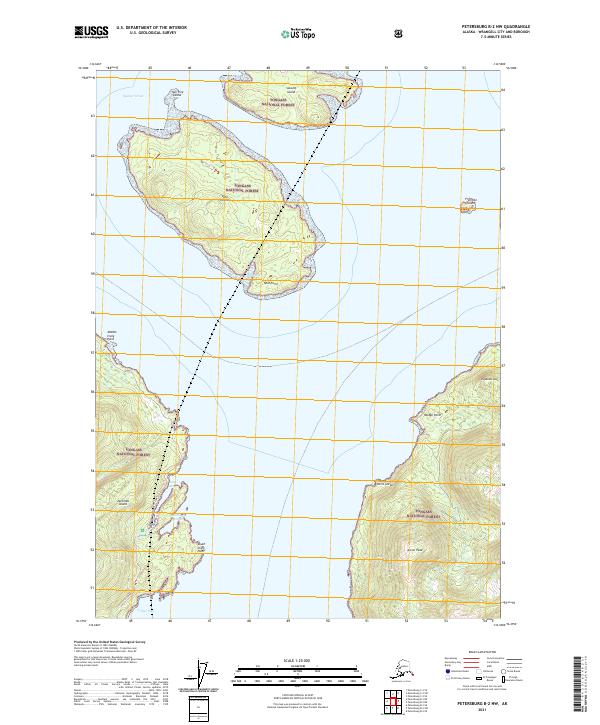
1992 Petersburg B-2 SE
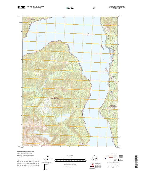
Wrangell Borough, AK
1992 Petersburg C-2 SW
Wrangell Borough, AK

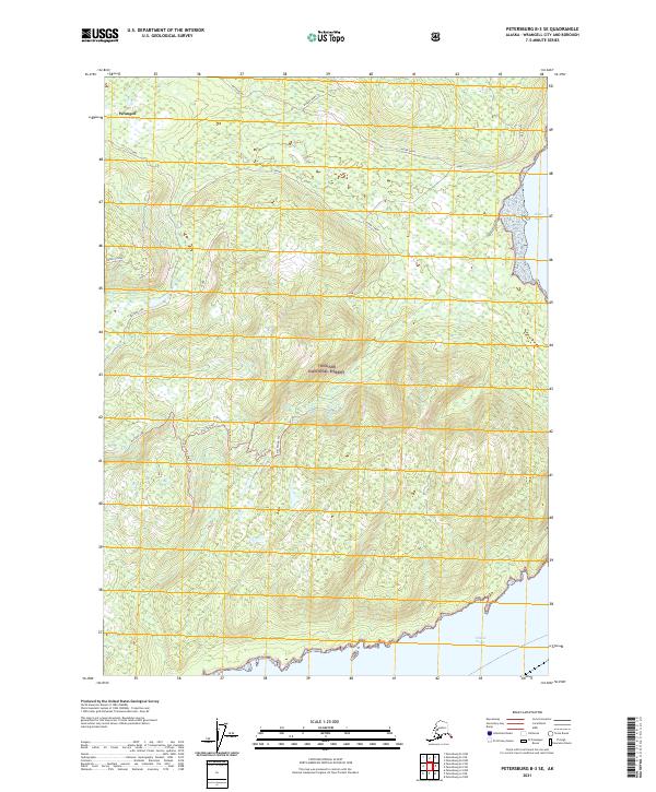
1992 Petersburg C-3 SE
Wrangell Borough, AK
1994 Petersburg D-2
Wrangell Borough, AK
1995 Petersburg A-1
Wrangell Borough, AK
1995 Petersburg B-2
Wrangell Borough, AK
1995 Petersburg C-1
Wrangell Borough, AK
1997 Petersburg B-1
Wrangell Borough, AK
1997 Petersburg C-2
Wrangell Borough, AK
2000 Bradfield Canal B-6
Wrangell Borough, AK
2000 Petersburg D-1
Wrangell Borough, AK
2017 Bradfield Canal A-5 NW
Wrangell Borough, AK
2017 Bradfield Canal A-6 NE
Wrangell Borough, AK
2017 Bradfield Canal A-6 NW
Wrangell Borough, AK
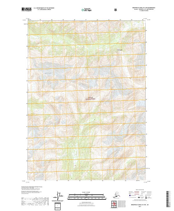
2017 Bradfield Canal B-4 NW
Wrangell Borough, AK
2017 Bradfield Canal B-4 SW
Wrangell Borough, AK

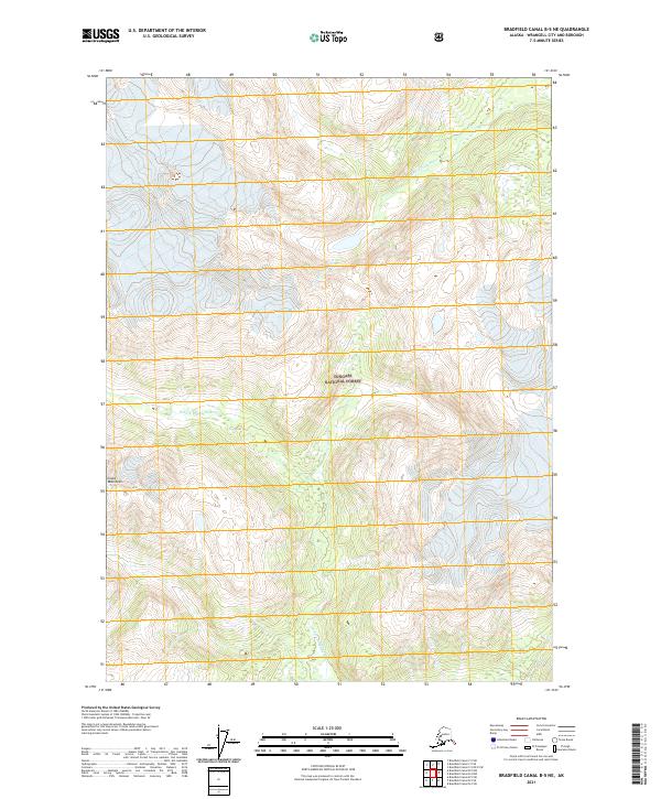
2017 Bradfield Canal B-5 NE
Wrangell Borough, AK
2017 Bradfield Canal B-5 NW
Wrangell Borough, AK
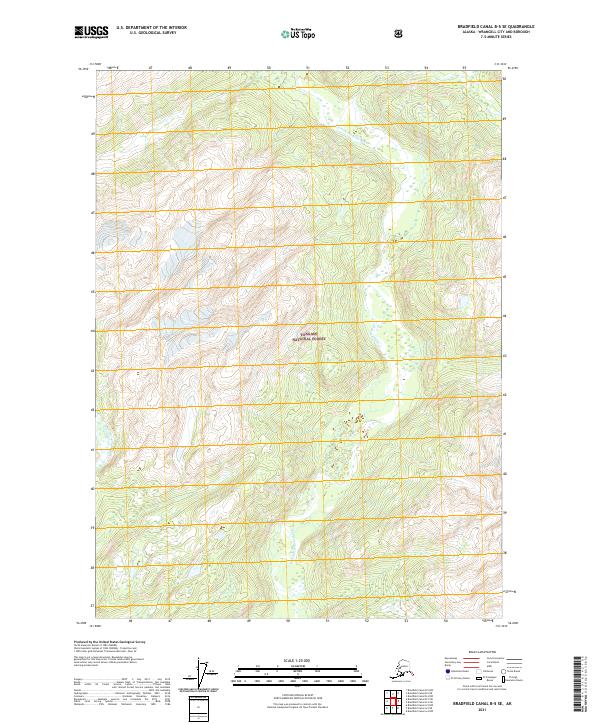
2017 Bradfield Canal B-5 SE
Wrangell Borough, AK
2017 Bradfield Canal B-5 SW
Wrangell Borough, AK
2017 Bradfield Canal B-6 NE
Wrangell Borough, AK
2017 Bradfield Canal B-6 NW
Wrangell Borough, AK

2017 Bradfield Canal B-6 SE
Wrangell Borough, AK
2017 Bradfield Canal B-6 SW
Wrangell Borough, AK
2017 Bradfield Canal C-5 OE E SW
Wrangell Borough, AK
2017 Bradfield Canal C-5 SE
Wrangell Borough, AK
2017 Bradfield Canal C-5 SW
Wrangell Borough, AK
2017 Bradfield Canal C-6 NW
Wrangell Borough, AK

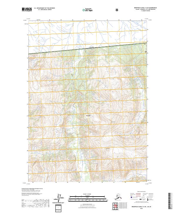
2017 Bradfield Canal C-6 SE
Wrangell Borough, AK
2017 Bradfield Canal C-6 SW
Wrangell Borough, AK
2017 Bradfield Canal D-6 SW
Wrangell Borough, AK
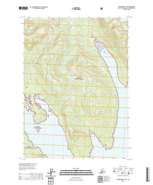
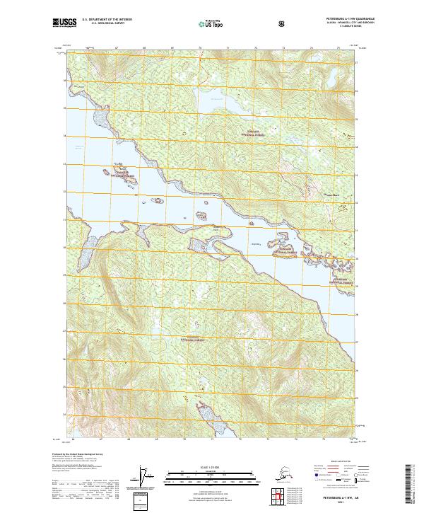
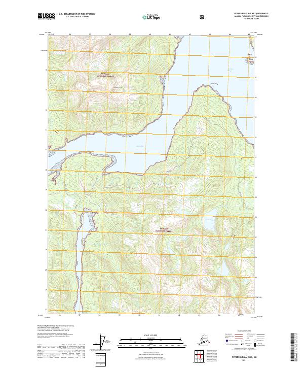
2017 Petersburg A-1 NE
Wrangell Borough, AK
2017 Petersburg A-1 NW
Wrangell Borough, AK
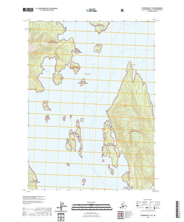
2017 Petersburg A-1 SE
Wrangell Borough, AK
2017 Petersburg A-1 SW
Wrangell Borough, AK
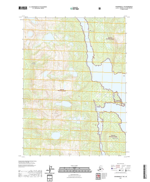
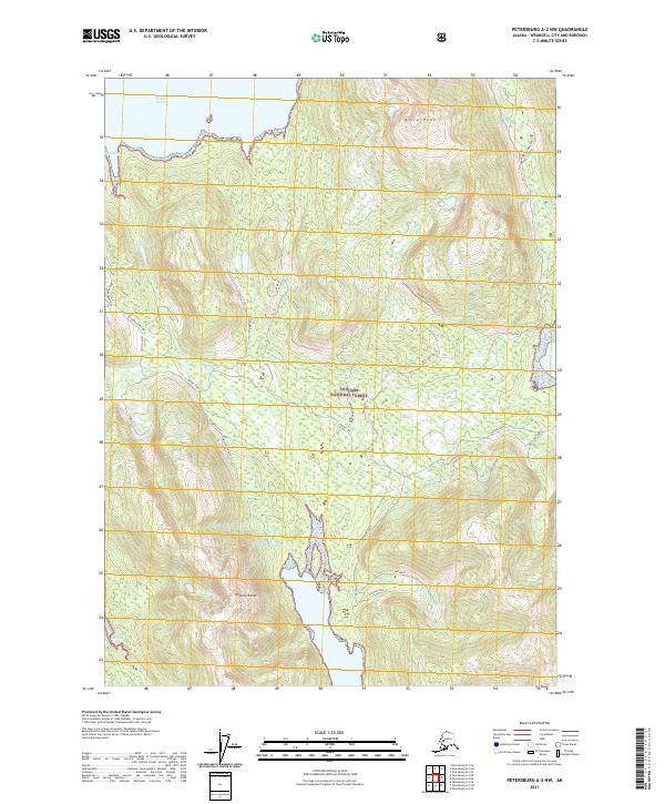
2017 Petersburg A-2 NE
Wrangell Borough, AK
2017 Petersburg A-2 NW
Wrangell Borough, AK

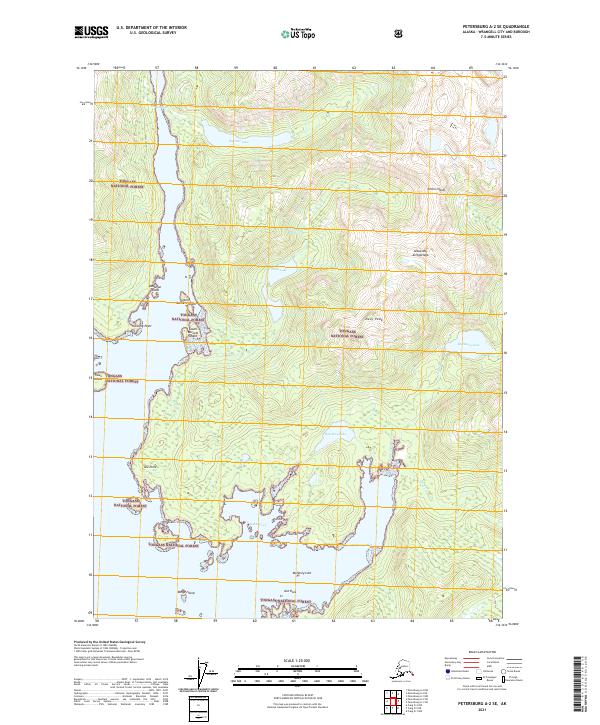
2017 Petersburg A-2 SE
Wrangell Borough, AK
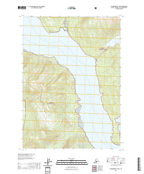
2017 Petersburg B-1 NE
Wrangell Borough, AK
2017 Petersburg B-1 NW
Wrangell Borough, AK
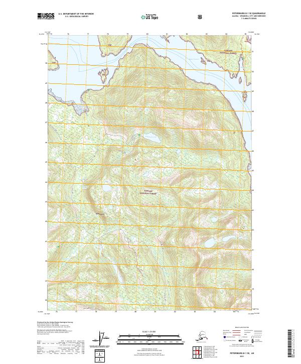
2017 Petersburg B-1 SE
Wrangell Borough, AK
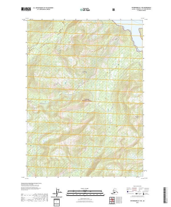
2017 Petersburg B-1 SW
Wrangell Borough, AK
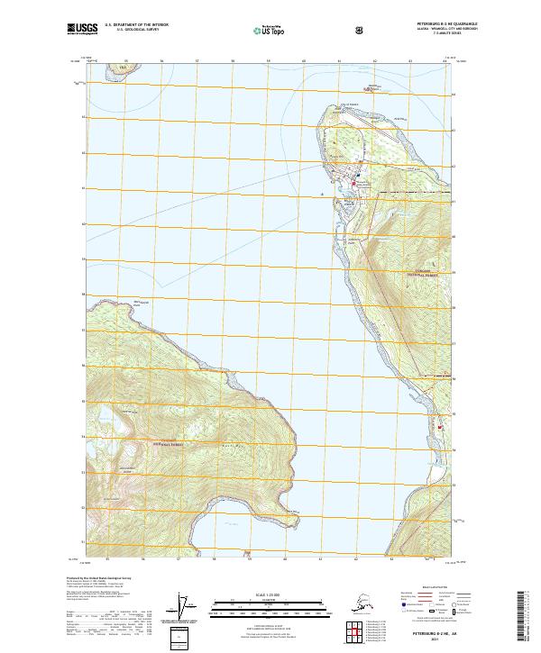
2017 Petersburg B-2 NE
Wrangell Borough, AK
2017 Petersburg B-2 NW
Wrangell Borough, AK

2017 Petersburg B-2 SE
Wrangell Borough, AK
2017 Petersburg B-2 SW
Wrangell Borough, AK
2017 Petersburg B-3 NE
Wrangell Borough, AK
2017 Petersburg B-3 NW
Wrangell Borough, AK
2017 Petersburg B-3 SE
Wrangell Borough, AK
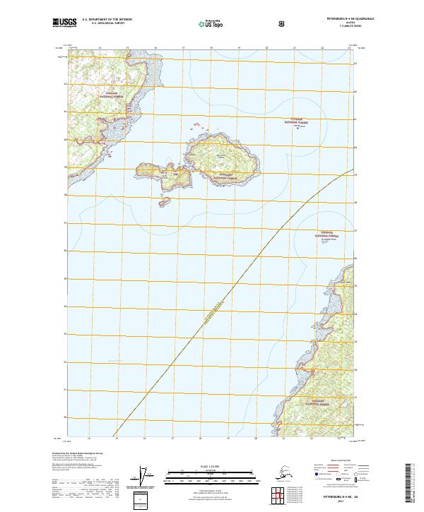
2017 Petersburg B-4 NE
Wrangell Borough, AK
2017 Petersburg C-1 NE
Wrangell Borough, AK
2017 Petersburg C-1 NW
Wrangell Borough, AK
2017 Petersburg C-1 SE
Wrangell Borough, AK
2017 Petersburg C-1 SW
Wrangell Borough, AK
2017 Petersburg C-2 NE
Wrangell Borough, AK
2017 Petersburg C-2 NW
Wrangell Borough, AK

2017 Petersburg C-2 SE
Wrangell Borough, AK
2017 Petersburg C-2 SW
Wrangell Borough, AK
2017 Petersburg C-3 SE
Wrangell Borough, AK
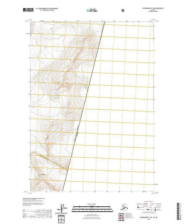
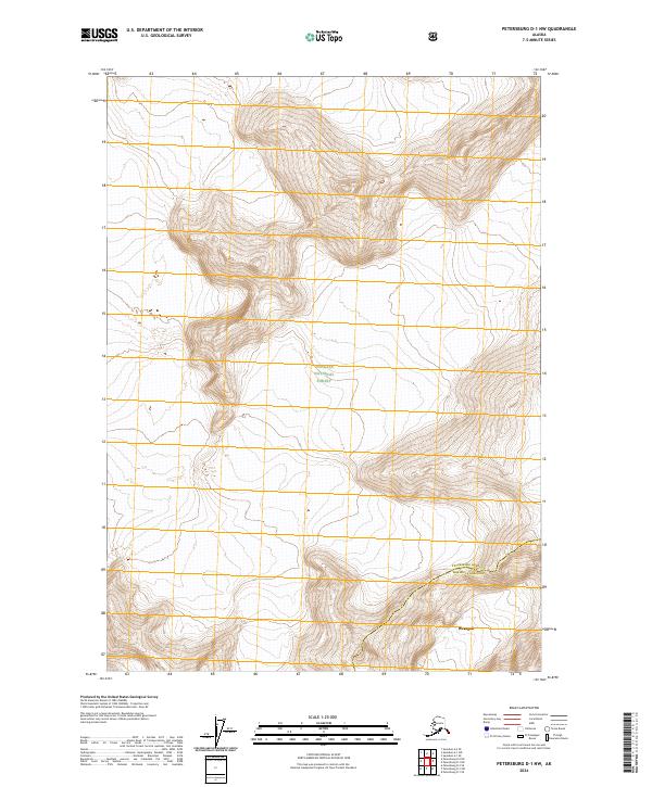
2017 Petersburg D-1 NE
Wrangell Borough, AK
2017 Petersburg D-1 NW
Wrangell Borough, AK
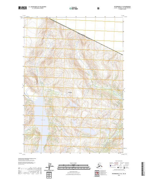
2017 Petersburg D-1 SE
Wrangell Borough, AK
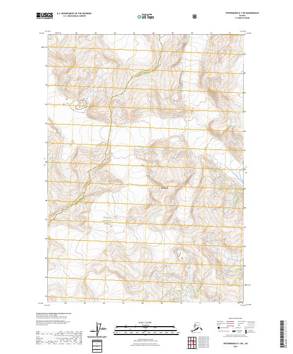
2017 Petersburg D-1 SW
Wrangell Borough, AK
2017 Petersburg D-2 SE
Wrangell Borough, AK
2021 Bradfield Canal A-5 NW
Wrangell Borough, AK
2021 Bradfield Canal A-6 NE
Wrangell Borough, AK
2021 Bradfield Canal A-6 NW
Wrangell Borough, AK
2021 Bradfield Canal B-4 NW
Wrangell Borough, AK
2021 Bradfield Canal B-4 SW
Wrangell Borough, AK
2021 Bradfield Canal B-5 NE
Wrangell Borough, AK
2021 Bradfield Canal B-5 NW
Wrangell Borough, AK
2021 Bradfield Canal B-5 SE
Wrangell Borough, AK
2021 Bradfield Canal B-5 SW
Wrangell Borough, AK
2021 Bradfield Canal B-6 NE
Wrangell Borough, AK
2021 Bradfield Canal B-6 NW
Wrangell Borough, AK
2021 Bradfield Canal B-6 SE
Wrangell Borough, AK
2021 Bradfield Canal B-6 SW
Wrangell Borough, AK
2021 Bradfield Canal C-5 OE E SW
Wrangell Borough, AK
2021 Bradfield Canal C-5 SE
Wrangell Borough, AK
2021 Bradfield Canal C-5 SW
Wrangell Borough, AK
2021 Bradfield Canal C-6 NW
Wrangell Borough, AK
2021 Bradfield Canal C-6 SE
Wrangell Borough, AK
2021 Bradfield Canal C-6 SW
Wrangell Borough, AK
2021 Bradfield Canal D-6 SW
Wrangell Borough, AK
2021 Petersburg A-1 NE
Wrangell Borough, AK
2021 Petersburg A-1 NW
Wrangell Borough, AK
2021 Petersburg A-1 SE
Wrangell Borough, AK
2021 Petersburg A-1 SW
Wrangell Borough, AK
2021 Petersburg A-2 NE
Wrangell Borough, AK
2021 Petersburg A-2 NW
Wrangell Borough, AK
2021 Petersburg A-2 SE
Wrangell Borough, AK
2021 Petersburg B-1 NE
Wrangell Borough, AK
2021 Petersburg B-1 NW
Wrangell Borough, AK
2021 Petersburg B-1 SE
Wrangell Borough, AK
2021 Petersburg B-1 SW
Wrangell Borough, AK
2021 Petersburg B-2 NE
Wrangell Borough, AK
2021 Petersburg B-2 NW
Wrangell Borough, AK
2021 Petersburg B-2 SE
Wrangell Borough, AK
2021 Petersburg B-2 SW
Wrangell Borough, AK
2021 Petersburg B-3 NE
Wrangell Borough, AK
2021 Petersburg B-3 NW
Wrangell Borough, AK
2021 Petersburg B-3 SE
Wrangell Borough, AK
2021 Petersburg B-4 NE
Wrangell Borough, AK
2021 Petersburg C-1 NE
Wrangell Borough, AK
2021 Petersburg C-1 NW
Wrangell Borough, AK
2021 Petersburg C-1 SE
Wrangell Borough, AK
2021 Petersburg C-1 SW
Wrangell Borough, AK
2021 Petersburg C-2 NE
Wrangell Borough, AK
2021 Petersburg C-2 NW
Wrangell Borough, AK
2021 Petersburg C-2 SE
Wrangell Borough, AK
2021 Petersburg C-2 SW
Wrangell Borough, AK
2021 Petersburg C-3 SE
Wrangell Borough, AK
2021 Petersburg D-1 NE
Wrangell Borough, AK
2021 Petersburg D-1 NW
Wrangell Borough, AK
2021 Petersburg D-1 SE
Wrangell Borough, AK
2021 Petersburg D-1 SW
Wrangell Borough, AK
2021 Petersburg D-2 SE
Wrangell Borough, AK
2024 Bradfield Canal B-5 NW
Wrangell Borough, AK
2024 Bradfield Canal B-6 NE
Wrangell Borough, AK

2024 Bradfield Canal B-6 NW
Wrangell Borough, AK
2024 Bradfield Canal C-5 SW
Wrangell Borough, AK
2024 Bradfield Canal C-6 NW
Wrangell Borough, AK
2024 Bradfield Canal C-6 SE
Wrangell Borough, AK
2024 Bradfield Canal C-6 SW
Wrangell Borough, AK
2024 Bradfield Canal D-6 SW
Wrangell Borough, AK
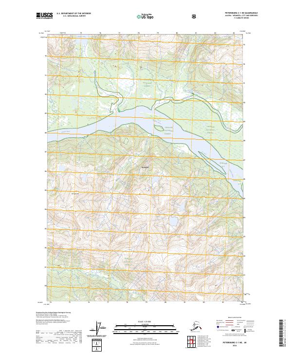
2024 Petersburg C-1 NE
Wrangell Borough, AK
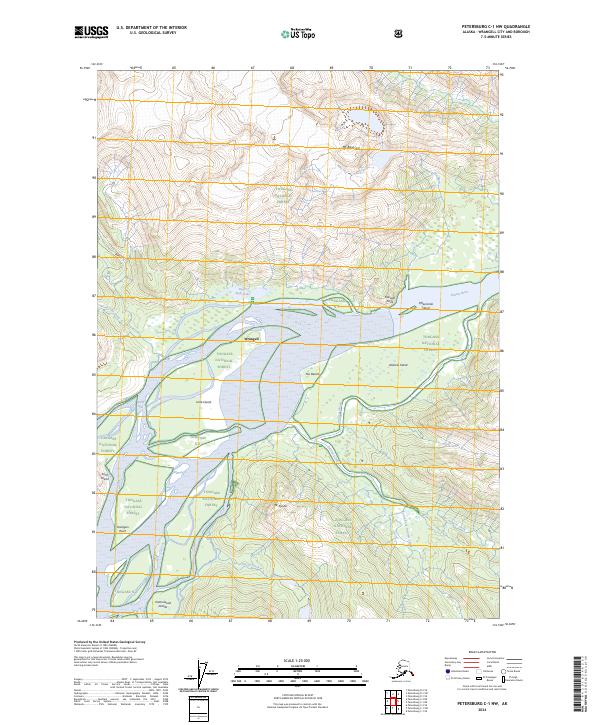
2024 Petersburg C-1 NW
Wrangell Borough, AK
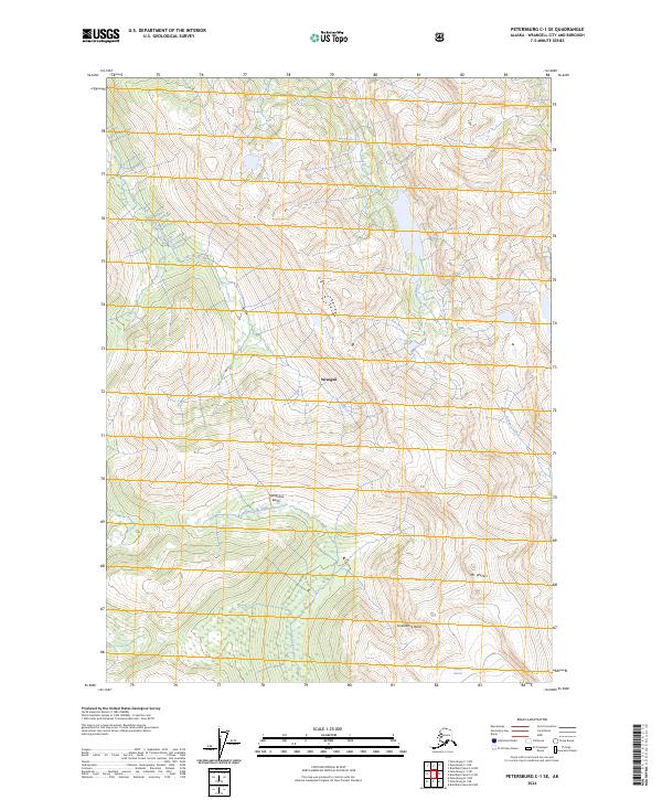
2024 Petersburg C-1 SE
Wrangell Borough, AK
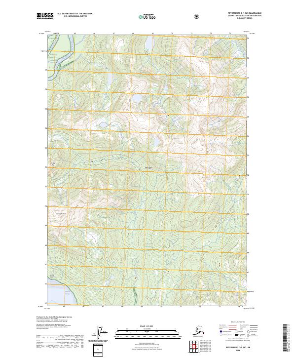
2024 Petersburg C-1 SW
Wrangell Borough, AK
2024 Petersburg C-2 NE
Wrangell Borough, AK
2024 Petersburg C-2 NW
Wrangell Borough, AK
2024 Petersburg C-2 SE
Wrangell Borough, AK
2024 Petersburg C-2 SW
Wrangell Borough, AK
2024 Petersburg D-1 NE
Wrangell Borough, AK
2024 Petersburg D-1 NW
Wrangell Borough, AK
2024 Petersburg D-1 SE
Wrangell Borough, AK
2024 Petersburg D-1 SW
Wrangell Borough, AK
2024 Petersburg D-2 SE
Wrangell Borough, AK