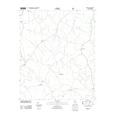
2011 Map of Bradley
USGS Topo · Published 2011About this map
Hard Labor Creek and its many tributaries, including Cunning Ford Creek and Stillhouse Branch, carve a dense drainage network across this Greenwood County landscape. The settlement pattern is defined by small, historically significant communities such as Bradley, Verdery, and Whitehall, which are linked by a web of traditional routes like Five Notch Rd and Gold Mine Rd. Local history is anchored by sites such as Crossroads Cemetery and Rushville Cemetery, while infrastructure like Cothran Bridge and several noname dams indicate the long-standing management of the area's water resources for local agriculture and industry. The map captures the rural character of the region just after the first decade of the 21st century, showing the persistence of community names like Rushville and Callison even as the landscape transitions.
Find a feature on this map
60 named features on this map. Tap any name to fly to it.
Don’t see what you’re looking for? This feature index may not catch every label — zoom into the map to look around manually.
Map Details
Editions of this 2011 Bradley Map
This is the sole edition of this map. No revisions or reprints were ever made.
Other maps of this area

1892 · Mc Cormick
USGS Topo · 1:125,000

1892 · Abbeville
USGS Topo · 1:125,000

1908 · Kirksey
USGS Topo · 1:24,000

1912 · Mc Cormick
USGS Topo · 1:125,000

1948 · Abbeville East
USGS Topo · 1:24,000

1948 · Verdery
USGS Topo · 1:24,000

1949 · Ninety-Six
USGS Topo · 1:24,000

1949 · Greenwood
USGS Topo · 1:24,000

1950 · Bradley
USGS Topo · 1:24,000

1950 · Kirksey
USGS Topo · 1:24,000