
1919 Map of Bradley
USGS Topo · Published 1919About this map
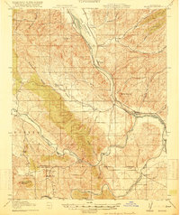
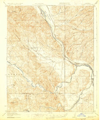
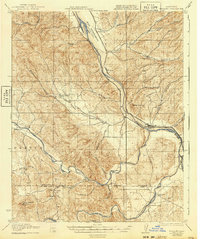
The Salinas River valley forms the primary corridor of this 1917 survey, where the Pacific Coast Line railroad dictates the local economy and settlement pattern. Near the town of Bradley, the river system branches into the San Antonio River and Nacimiento River, creating a complex network of canyons and valleys. The map documents a rural society organized around small schools and family-named ranches, such as the Bee Rock School and the Lynch Ranch in the southern hills. Notable features include Getty Siding and Wunpost along the rail line, and the inland settlement of Pleyto, which sits at the junction of several canyons. The survey also captures the border between Monterey and San Luis Obispo counties, illustrating the transition from the alluvial Hames Valley to the more varied terrain around Tierra Redonda Mountain.
Find a feature on this map
44 named features on this map. Tap any name to fly to it.
Don’t see what you’re looking for? This feature index may not catch every label — zoom into the map to look around manually.
Map Details
Editions of this 1919 Bradley Map
4 editions found
Other maps of this area

1912 · San Ardo
USGS Topo · 1:31,680

1915 · Priest Valley
USGS Topo · 1:125,000

1919 · San Miguel
USGS Topo · 1:62,500

1919 · King City
USGS Topo · 1:62,500

1919 · Bryson
USGS Topo · 1:62,500

1919 · Paso Robles
USGS Topo · 1:62,500

1919 · Adelaida
USGS Topo · 1:62,500

1919 · San Simeon
USGS Topo · 1:62,500

1932 · Adelaida
USGS Topo · 1:62,500

1937 · San Simeon
USGS Topo · 1:62,500