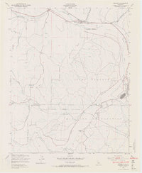
1949 Map of Bradley
USGS Topo · Published 1970About this map
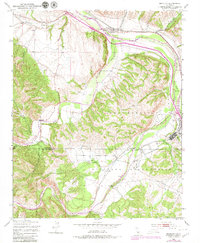
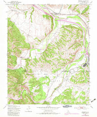
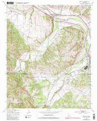
The Salinas River valley in the late 1940s is defined by the intersection of vital transport corridors and significant military infrastructure. The village of Bradley serves as a central point along the Southern Pacific railroad line, which follows the river's path northward through the canyon lands. A large portion of the landscape is dominated by the Camp Roberts Military Reservation, featuring an extensive network of training grounds and a Rifle Range situated near the confluence of the Nacimiento River and the Salinas. The map captures the transition from agriculture and ranching, evidenced by the Nacimiento Ranch and scattered windmills, to the formal military zoning that would define the area's mid-century character. Notable topographical features include the broad Hames Valley and several deeply incised drainages like Buttle Canyon and Oro Fino Canyon that feed into the river systems.
Find a feature on this map
21 named features on this map. Tap any name to fly to it.
Don’t see what you’re looking for? This feature index may not catch every label — zoom into the map to look around manually.
Map Details
Editions of this 1949 Bradley Map
7 editions found
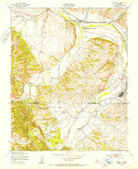
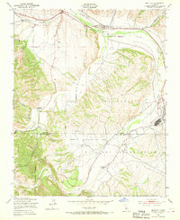
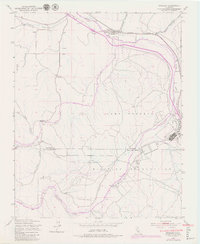
Other maps of this area

1919 · San Miguel
USGS Topo · 1:62,500

1919 · Paso Robles
USGS Topo · 1:62,500

1919 · Bradley
USGS Topo · 1:62,500

1919 · Adelaida
USGS Topo · 1:62,500

1932 · Adelaida
USGS Topo · 1:62,500

1941 · Bradley
USGS Topo · 1:62,500

1942 · Adelaida
USGS Topo · 1:62,500

1943 · Paso Robles
USGS Topo · 1:62,500

1947 · San Luis Obispo
USGS Topo · 1:250,000

1947 · San Miguel
USGS Topo · 1:62,500