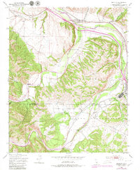
1949 Map of Bradley
USGS Topo · Published 1979About this map
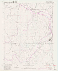
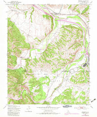
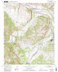
The Salinas River valley near the Monterey and San Luis Obispo county line is defined by the convergence of major waterways and the significant presence of the Camp Roberts Military Reservation. The settlement of Bradley sits at the junction of the Southern Pacific railroad and the river, serving as a focal point for the surrounding agricultural and ranching landscape. To the south, the Nacimiento River and San Antonio River carve through the hills, meeting the Salinas near Nacimiento Ranch. The map reveals the infrastructure of mid-century military training, including a Rifle Range, situated alongside traditional features like a small Cem and the flat expanses of Hames Valley. The terrain is marked by numerous drainage systems such as Portuguese Canyon and Hare Canyon, illustrating the complex natural drainage of this central California region before significant modern development.
Find a feature on this map
17 named features on this map. Tap any name to fly to it.
Don’t see what you’re looking for? This feature index may not catch every label — zoom into the map to look around manually.
Map Details
Editions of this 1949 Bradley Map
7 editions found
Other maps of this area

1919 · San Miguel
USGS Topo · 1:62,500

1919 · Paso Robles
USGS Topo · 1:62,500

1919 · Bradley
USGS Topo · 1:62,500

1919 · Adelaida
USGS Topo · 1:62,500

1932 · Adelaida
USGS Topo · 1:62,500

1941 · Bradley
USGS Topo · 1:62,500

1942 · Adelaida
USGS Topo · 1:62,500

1943 · Paso Robles
USGS Topo · 1:62,500

1947 · San Luis Obispo
USGS Topo · 1:250,000

1947 · San Miguel
USGS Topo · 1:62,500