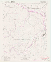
1949 Map of Bradley
USGS Topo · Published 1979About this map
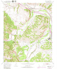
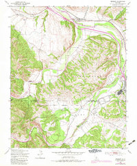
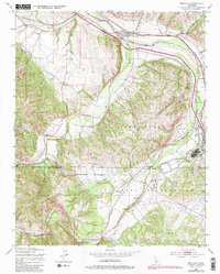
Bradley stands as a focal point along the Southern Pacific railroad line, positioned where the Salinas River meets the drainages of Portuguese Canyon and Hare Canyon. The landscape is defined by the convergence of major waterways, including the San Antonio River and the Nacimiento River, which carve through the terrain of Hames Valley. A significant portion of the southern geography is dedicated to the Military Reservation and Camp Roberts, featuring a Rifle Range and specialized infrastructure like a Telephone Line corridor. Local history is anchored by the Cem north of town and the sprawling Nacimiento Ranch to the south. This 1949 survey, with revisions from 1976, illustrates a transition from traditional ranching and rail transport to a heavy military presence along the Monterey and San Luis Obispo county line.
Find a feature on this map
20 named features on this map. Tap any name to fly to it.
Don’t see what you’re looking for? This feature index may not catch every label — zoom into the map to look around manually.
Map Details
Editions of this 1949 Bradley Map
7 editions found
Other maps of this area

1919 · San Miguel
USGS Topo · 1:62,500

1919 · Paso Robles
USGS Topo · 1:62,500

1919 · Bradley
USGS Topo · 1:62,500

1919 · Adelaida
USGS Topo · 1:62,500

1932 · Adelaida
USGS Topo · 1:62,500

1941 · Bradley
USGS Topo · 1:62,500

1942 · Adelaida
USGS Topo · 1:62,500

1943 · Paso Robles
USGS Topo · 1:62,500

1947 · San Luis Obispo
USGS Topo · 1:250,000

1947 · San Miguel
USGS Topo · 1:62,500