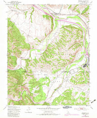
1949 Map of Bradley
USGS Topo · Published 1983About this map
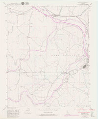
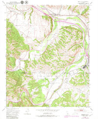
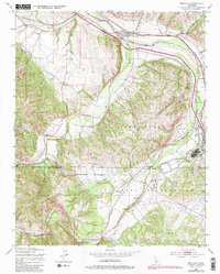
The confluence of three major waterways—the Salinas River, San Antonio River, and Nacimiento River—dominates this landscape at the intersection of Monterey and San Luis Obispo counties. The small settlement of Bradley sits at the northern edge of the map, served by the Southern Pacific railroad line which follows the eastern bank of the Salinas. This 1949 survey, with revisions noted through the late 1970s, captures the significant physical footprint of the Camp Roberts Military Reservation, which occupies the majority of the southern and eastern territory.
Find a feature on this map
19 named features on this map. Tap any name to fly to it.
Don’t see what you’re looking for? This feature index may not catch every label — zoom into the map to look around manually.
Map Details
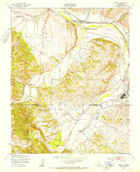
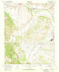
Editions of this 1949 Bradley Map
7 editions found
Other maps of this area

1919 · San Miguel
USGS Topo · 1:62,500

1919 · Paso Robles
USGS Topo · 1:62,500

1919 · Bradley
USGS Topo · 1:62,500

1919 · Adelaida
USGS Topo · 1:62,500

1932 · Adelaida
USGS Topo · 1:62,500

1941 · Bradley
USGS Topo · 1:62,500

1942 · Adelaida
USGS Topo · 1:62,500

1943 · Paso Robles
USGS Topo · 1:62,500

1947 · San Luis Obispo
USGS Topo · 1:250,000

1947 · San Miguel
USGS Topo · 1:62,500