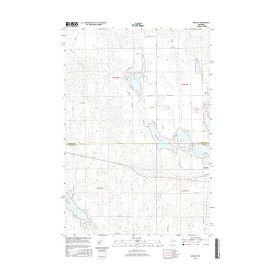
2015 Map of Bradley
USGS Topo · Published 2015About this map
The Tomahawk River and its complex network of reservoirs and tributaries define this Northwoods landscape at the border of Oneida and Lincoln Counties. The settlement of Bradley serves as a focal point near the Rice River Flowage, while the surrounding terrain is dominated by significant water bodies including Killarney Lake, Bridge Lake, and Somo Lake. These waters are linked by the Little Rice River and Little Somo River, reflecting the region's managed hydrology and its importance for local recreation and conservation.
Find a feature on this map
64 named features on this map. Tap any name to fly to it.
Don’t see what you’re looking for? This feature index may not catch every label — zoom into the map to look around manually.
Map Details
Editions of this 2015 Bradley Map
This is the sole edition of this map. No revisions or reprints were ever made.
Other maps of this area

1939 · Mc Cord
USGS Topo · 1:48,000

1939 · Cassian
USGS Topo · 1:48,000

1942 · Cassian
USGS Topo · 1:48,000

1947 · Mc Cord
USGS Topo · 1:48,000

1950 · Tomahawk
USGS Topo · 1:48,000

1950 · Spirit Falls
USGS Topo · 1:48,000

1952 · Spirit Falls
USGS Topo · 1:48,000

1952 · Tomahawk
USGS Topo · 1:48,000

1954 · Iron Mountain
USGS Topo · 1:250,000

1959 · Iron Mountain
USGS Topo · 1:250,000