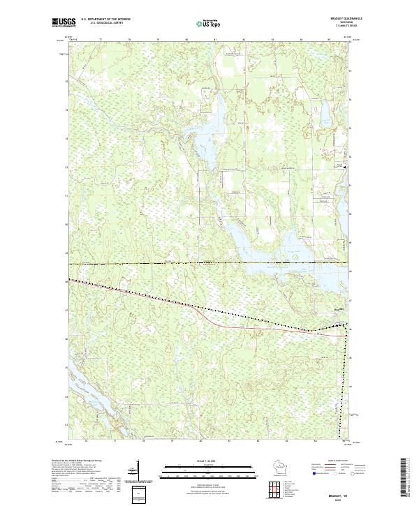
2022 Map of Bradley
USGS Topo · Published 2022About this map
Bradley sits near the eastern edge of this landscape, positioned north of where the Tomahawk River flows through the dense network of Wisconsin Northwoods waterways. The terrain is defined by its complex hydrology, dominated by the Rice River Flowage and Little Rice River which create a sprawling system of wetlands and reservoirs across the border of Oneida Co and Lincoln Co. This area demonstrates a managed water system, with Little Rice Dam Rd and Kelly Dam Rd indicating the infrastructure required to regulate these basins for regional use.
Find a feature on this map
64 named features on this map. Tap any name to fly to it.
Don’t see what you’re looking for? This feature index may not catch every label — zoom into the map to look around manually.
Map Details
Editions of this 2022 Bradley Map
This is the sole edition of this map. No revisions or reprints were ever made.
Other maps of this area

1939 · Mc Cord
USGS Topo · 1:48,000

1939 · Cassian
USGS Topo · 1:48,000

1942 · Cassian
USGS Topo · 1:48,000

1947 · Mc Cord
USGS Topo · 1:48,000

1950 · Tomahawk
USGS Topo · 1:48,000

1950 · Spirit Falls
USGS Topo · 1:48,000

1952 · Spirit Falls
USGS Topo · 1:48,000

1952 · Tomahawk
USGS Topo · 1:48,000

1954 · Iron Mountain
USGS Topo · 1:250,000

1959 · Iron Mountain
USGS Topo · 1:250,000