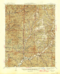
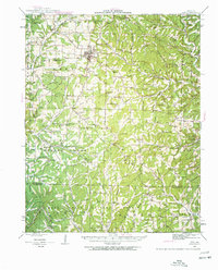
1945 Map of Bradleyville
USGS Topo · Published 1945About this map
Beaver Creek and Swan Creek carve through the landscape of the Ozark Plateau in this mid-century survey of the White River watershed. The area is defined by a dense network of country schools and family-named hollows, reflecting a rural society still deeply tied to the land before the consolidation of local districts. Settlements such as Bradleyville, Goodhope, and Arden serve as small hubs for the surrounding townships of Spencer, Campbell, and Beaver.
Find a feature on this map
60 named features on this map. Tap any name to fly to it.
Don’t see what you’re looking for? This feature index may not catch every label — zoom into the map to look around manually.
Map Details
Editions of this 1945 Bradleyville Map
This is the sole edition of this map. No revisions or reprints were ever made.
Other maps of this area

1884 · Springfield
USGS Topo · 1:125,000

1886 · Springfield
USGS Topo · 1:125,000
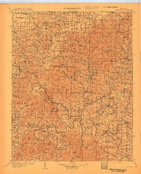
1907 · Forsyth
USGS Topo · 1:125,000
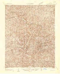
1936 · Thornfield
USGS Topo · 1:48,000
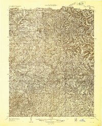
1936 · Ava
USGS Topo · 1:48,000
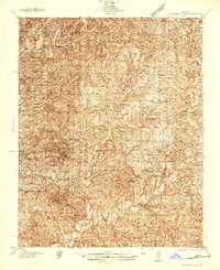
1937 · Bradleyville
USGS Topo · 1:48,000
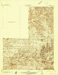
1937 · Ozark
USGS Topo · 1:48,000
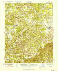
1939 · Fordland
USGS Topo · 1:62,500
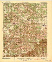
1942 · Fordland
USGS Topo · 1:62,500
1942 · Ava
USGS Topo · 1:62,500