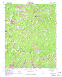
1964 Map of Bradshaw
USGS Topo · Published 1978About this map
Bradshaw and Jolo serve as the primary hubs in this mid-century portrait of McDowell County, West Virginia. The landscape is defined by the sharp winding valleys of the Sandy River and Bradshaw Creek, where coal-era infrastructure meets a dense network of family heritage sites. The Norfolk and Western railroad tracks follow the river's path, serving the many mines and mine dumps that dot the hillsides near Raysal and Atwell.
Find a feature on this map
92 named features on this map. Tap any name to fly to it.
Don’t see what you’re looking for? This feature index may not catch every label — zoom into the map to look around manually.
Map Details
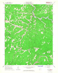
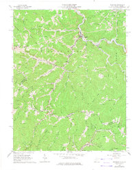
Editions of this 1964 Bradshaw Map
3 editions found
Other maps of this area

1891 · Tazewell
USGS Topo · 1:125,000

1895 · Tazewell
USGS Topo · 1:125,000

1897 · Tazewell
USGS Topo · 1:125,000

1910 · Iaeger
USGS Topo · 1:48,000

1912 · Pounding Mill
USGS Topo · 1:62,500

1912 · Iaeger
USGS Topo · 1:62,500

1912 · Welch
USGS Topo · 1:62,500

1914 · Iaeger
USGS Topo · 1:48,000

1915 · Richlands
USGS Topo · 1:48,000

1916 · Pounding Mill
USGS Topo · 1:62,500