
1924 Map of Brady 2-a
USGS Topo · Published 1924About this map
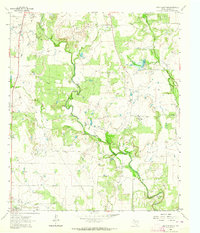
Rockwood and Whon anchor the northern landscape of this 1924 survey, which documents the winding course of the Colorado River as it carves through the central Texas plains. The map illustrates a transitional period in rural transportation, noting established river access points such as Military Crossing and Mitchel Crossing that were vital for local commerce and movement between Coleman and McCulloch counties.
Find a feature on this map
17 named features on this map. Tap any name to fly to it.
Don’t see what you’re looking for? This feature index may not catch every label — zoom into the map to look around manually.
Map Details
Editions of this 1924 Brady 2-a Map
This is the sole edition of this map. No revisions or reprints were ever made.
Other maps of this area

1887 · Coleman
USGS Topo · 1:125,000

1889 · Coleman
USGS Topo · 1:125,000

1894 · Brady
USGS Topo · 1:125,000

1925 · Brady 2-b
USGS Topo · 1:48,000

1925 · Brady 1-b
USGS Topo · 1:48,000

1928 · Mercury
USGS Topo · 1:62,500

1928 · Waldrip
USGS Topo · 1:62,500

1950 · Mercury
USGS Topo · 1:62,500

1954 · Brownwood
USGS Topo · 1:250,000
1962 · Speck Mountain
USGS Topo · 1:24,000