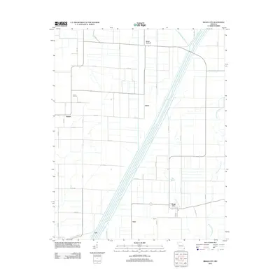
2012 Map of Bragg City
USGS Topo · Published 2012About this map
Bragg City and its surrounding agricultural landscape are defined by a sophisticated network of drainage ditches and altered waterways in the Missouri Bootheel. The central corridor is dominated by the Little River, which runs parallel to the Old Channel Little River, illustrating the intensive engineering efforts to manage the low-lying terrain. Small rural settlements like Peach Orchard, Gidson, and Sumach are scattered across a grid of county roads, with Sumach Cemetery providing a point of genealogical interest for local families. The southern portion of the area features Clay Root Bayou and Big Bayou, which weave through the farm plots near the hamlets of Yama, Kirk, and Ogden. This survey captures the region's total transition to a managed hydraulic environment, where man-made ditches such as Ditch Number 293 and Ditch Number 1 have redirected the natural flow to support the local farming economy.
Find a feature on this map
45 named features on this map. Tap any name to fly to it.
Don’t see what you’re looking for? This feature index may not catch every label — zoom into the map to look around manually.
Map Details
Editions of this 2012 Bragg City Map
This is the sole edition of this map. No revisions or reprints were ever made.
Other maps of this area

1934 · Kennett
USGS Topo · 1:62,500

1940 · Pascola
USGS Topo · 1:62,500

1940 · Kennett
USGS Topo · 1:62,500

1940 · Hayti
USGS Topo · 1:62,500

1940 · Piggott
USGS Topo · 1:62,500

1955 · Pascola
USGS Topo · 1:62,500

1955 · Hayti
USGS Topo · 1:62,500

1956 · Kennett
USGS Topo · 1:62,500

1956 · Piggott
USGS Topo · 1:62,500

1956 · Dyersburg
USGS Topo · 1:250,000