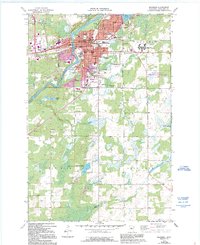
1973 Map of Brainerd
USGS Topo · Published 1995About this map
Brainerd sits at a strategic bend of the Mississippi River, serving as a regional hub for education, healthcare, and conservation during the 1970s. The map illustrates a densely developed core featuring a concentration of local schools like Lincoln Sch and Washington High Sch, alongside larger institutions such as the Brainerd State Hospital and Brainerd Jr College. The industrial and commercial character of the era is evident in the presence of the Burlington Northern railroad lines and the Brainerd Mall.
Find a feature on this map
53 named features on this map. Tap any name to fly to it.
Don’t see what you’re looking for? This feature index may not catch every label — zoom into the map to look around manually.
Map Details
Editions of this 1973 Brainerd Map
2 editions found
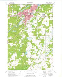
Other maps of this area

1915 · Brainerd
USGS Topo · 1:62,500

1916 · Pillager
USGS Topo · 1:62,500

1918 · Brainerd
USGS Topo · 1:62,500

1919 · Pillager
USGS Topo · 1:62,500

1948 · Belle Prairie
USGS Topo · 1:62,500

1948 · Lastrup
USGS Topo · 1:62,500

1950 · Lastrup
USGS Topo · 1:62,500

1950 · Belle Prairie
USGS Topo · 1:62,500

1953 · Brainerd
USGS Topo · 1:250,000

1954 · Baxter
USGS Topo · 1:24,000
Featured Places
- Brainerd, MN
- Baxter, MN
- Meadow View Manor, Brainerd
- Westwood Mobile Home Park, Brainerd
- East Gate Mobile Home Park, Brainerd