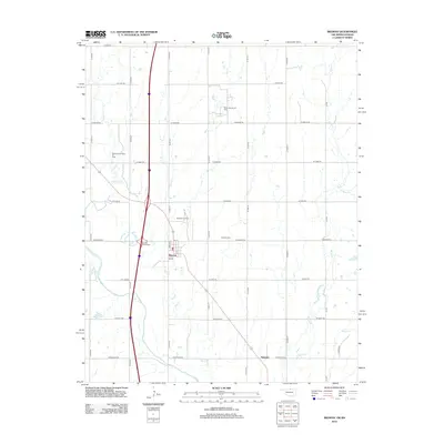
2012 Map of Braman
USGS Topo · Published 2012About this map
The town of Braman sits at the center of this 2012 survey, defined by its relationship to the surrounding energy landscape and modern transportation corridors. The map documents a significant petroleum footprint, with the Braman Oil Field, North Braman Oil Field, and Braman Northwest Oil Field encircling the settlement. This industrial presence is woven into a rural grid where family-named roads like W Judo Rd and W Earth Rd meet technical infrastructure at the Braman Interchange.
Find a feature on this map
32 named features on this map. Tap any name to fly to it.
Don’t see what you’re looking for? This feature index may not catch every label — zoom into the map to look around manually.
Map Details
Editions of this 2012 Braman Map
This is the sole edition of this map. No revisions or reprints were ever made.
Other maps of this area

1890 · Wellington
USGS Topo · 1:125,000

1955 · Wichita
USGS Topo · 1:250,000

1955 · Enid
USGS Topo · 1:250,000

1958 · Enid
USGS Topo · 1:250,000

1958 · Wichita
USGS Topo · 1:250,000

1965 · Portland
USGS Topo · 1:24,000

1965 · South Haven
USGS Topo · 1:24,000

1965 · Geuda Springs
USGS Topo · 1:24,000

1967 · Braman
USGS Topo · 1:24,000

1968 · Blackwell NW
USGS Topo · 1:24,000