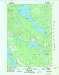
1981 Map of Branch Lake
USGS Topo · Published 1982About this map
Branch Lake dominates this 1981 survey of the Maine landscape, showing a complex network of waterways and islands including Twentyeight Acre Island and Calf Island. The map illustrates the region's transport and industrial roots, following the Maine Central railroad line through North Ellsworth and past Nicolin Siding. The distribution of Gravel Pits and family-named landmarks like Flying Moose Mtn and Flag Hill speaks to a rural economy balanced between natural resource extraction and the development of lakeside settlements.
Find a feature on this map
68 named features on this map. Tap any name to fly to it.
Don’t see what you’re looking for? This feature index may not catch every label — zoom into the map to look around manually.
Map Details
Editions of this 1981 Branch Lake Map
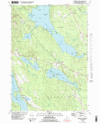
2 editions found
Other maps of this area

1900 · Orland
USGS Topo · 1:62,500

1904 · Mount Desert
USGS Topo · 1:62,500

1904 · Bluehill
USGS Topo · 1:62,500

1905 · Penobscot Bay
USGS Topo · 1:125,000

1911 · Ellsworth
USGS Topo · 1:62,500

1940 · Ellsworth
USGS Topo · 1:62,500

1942 · Orland
USGS Topo · 1:62,500

1942 · Ellsworth
USGS Topo · 1:62,500

1942 · Mount Desert
USGS Topo · 1:62,500

1944 · Blue Hill
USGS Topo · 1:62,500