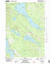
1981 Map of Branch Lake
USGS Topo · Published 1982About this map
The glaciated terrain of central Hancock County is defined by a dense network of lakes and islands, anchored by the expansive Branch Lake and the twin basins of Upper Patten Pond and Lower Patten Pond. Settled hamlets like North Ellsworth and West Ellsworth follow the high ground along the winding roads, while the Maine Central rail line cuts across the northern landscape near Nicolin Cemetery. The topography transitions from the low wetlands of Carlisle Meadow to the distinct heights of Flying Moose Mountain and Oak Hill, reflecting the varied elevation that shaped historical settlement patterns. Genealogical researchers will find value in the scattered burial grounds like West Surry Cemetery and Hillside Cemetery, which mark the small communities and family plots established along the shorelines and stony ridges of this coastal Maine interior during the early 1980s.
Find a feature on this map
2 named features on this map. Tap any name to fly to it.
Don’t see what you’re looking for? This feature index may not catch every label — zoom into the map to look around manually.
Map Details
Editions of this 1981 Branch Lake Map
2 editions found
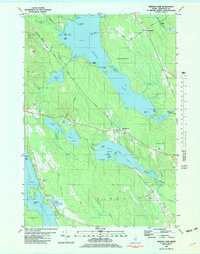
Other maps of this area

1900 · Orland
USGS Topo · 1:62,500

1904 · Mount Desert
USGS Topo · 1:62,500

1904 · Bluehill
USGS Topo · 1:62,500

1905 · Penobscot Bay
USGS Topo · 1:125,000

1911 · Ellsworth
USGS Topo · 1:62,500

1940 · Ellsworth
USGS Topo · 1:62,500

1942 · Orland
USGS Topo · 1:62,500

1942 · Ellsworth
USGS Topo · 1:62,500

1942 · Mount Desert
USGS Topo · 1:62,500

1944 · Blue Hill
USGS Topo · 1:62,500